Suffolk
| Hrabstwo ceremonialne i niemetropolitalne | |||||
 Orford Castle we wschodniej części hrabstwa | |||||
| |||||
| Państwo | |||||
|---|---|---|---|---|---|
| Kraj | |||||
| Region | |||||
| Siedziba | |||||
| Powierzchnia |
3798 km² | ||||
| Populacja (2011) • liczba ludności |
| ||||
| • gęstość |
191,7 os./km² | ||||
| Szczegółowy podział administracyjny | |||||

| |||||
| Liczba dystryktów |
5 | ||||
Położenie na mapie
| |||||
| Strona internetowa | |||||


Suffolk – hrabstwo administracyjne (niemetropolitalne), ceremonialne i historyczne we wschodniej Anglii, w regionie East of England, położone nad Morzem Północnym, na obszarze krainy geograficzno-historycznej zwanej Anglią Wschodnią (East Anglia).
Powierzchnia hrabstwa wynosi 3798 km², a liczba mieszkańców – 728 200[1]. Ośrodkiem administracyjnym i zarazem największym miastem Suffolku jest Ipswich. Innymi większymi miastami na terenie hrabstwa są Lowestoft, Bury St Edmunds, Haverhill oraz Felixstowe.
Hrabstwo ma w przeważającej części charakter wiejski, a istotną rolę w jego gospodarce odgrywa rolnictwo. Po wstąpieniu Wielkiej Brytanii do Wspólnoty Europejskiej (1973) w Felixstowe, w południowo-wschodniej części hrabstwa powstał jeden z największych portów przeładunkowych kraju.
Na północy Suffolk graniczy z hrabstwem Norfolk, na zachodzie z Cambridgeshire, a na południu z Esseksem.
Podział administracyjny
[edytuj | edytuj kod]W skład hrabstwa wchodzi pięć dystryktów[2].
Mapa
[edytuj | edytuj kod]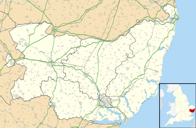
Przypisy
[edytuj | edytuj kod]- ↑ Table P04 2011 Census: Usual resident population by five-year age group, local authorities in England and Wales. Office for National Statistics. [dostęp 2012-07-18]. (ang.).
- ↑ Borough, district, parish and town councils. Suffolk County Council. [dostęp 2019-05-04]. (ang.).
- ↑ Office for National Statistics: KS101EW - Usual resident population. [w:] 2011 Census [on-line]. Nomis – Official labour market statistics, 2013-02-12. [dostęp 2022-06-05]. (ang.).
- ↑ Office for National Statistics: Built-up Area to Local Authority District (December 2011) Lookup in England and Wales. [w:] Open Geography Portal [on-line]. [dostęp 2022-06-05]. (ang.).
- ↑ Office for National Statistics: Built-up Area Sub Divisions (December 2011) Boundaries. [w:] Open Geography Potal [on-line]. [dostęp 2022-06-05]. (ang.).
Bibliografia
[edytuj | edytuj kod]- Suffolk, [w:] Encyclopædia Britannica [dostęp 2012-06-07] (ang.).
![]()
|
![]()
Text is available under the CC BY-SA 4.0 license; additional terms may apply.
Images, videos and audio are available under their respective licenses.
