檔案:LocationAfrica.png
全幅 (微格二七五九矩一四〇四,度:九九 KB,多用網際網路副檔名之型:image/png)

|
File:Location of Africa.svg是本檔案的向量版本。 如果品質不低,就應該優先使用該檔案,而非PNG檔案。
File:LocationAfrica.png → File:Location of Africa.svg
更多資訊請參閱Help:SVG/zh。 |
 |
概
| 述 |
Deutsch: Weltkarte mit Fokus auf Afrika
English: World map depicting Africa
Esperanto: Mondmapo bildiganta Afrikon
Español: Ubicación de África |
| 碼 | map adapted from PDF world map at CIA World Fact Book |
| 作者 | see above |
| 其他版本 | Derivative works of this file: Wikinews Afryka mapa.png |
權
|
|
 |
檔誌
揀日尋檔。
| 日時 | 縮 | 度 | 用戶 | 註 | |
|---|---|---|---|---|---|
| 今 | 二〇〇八年一月一九日 (六) 一二時三四分 | 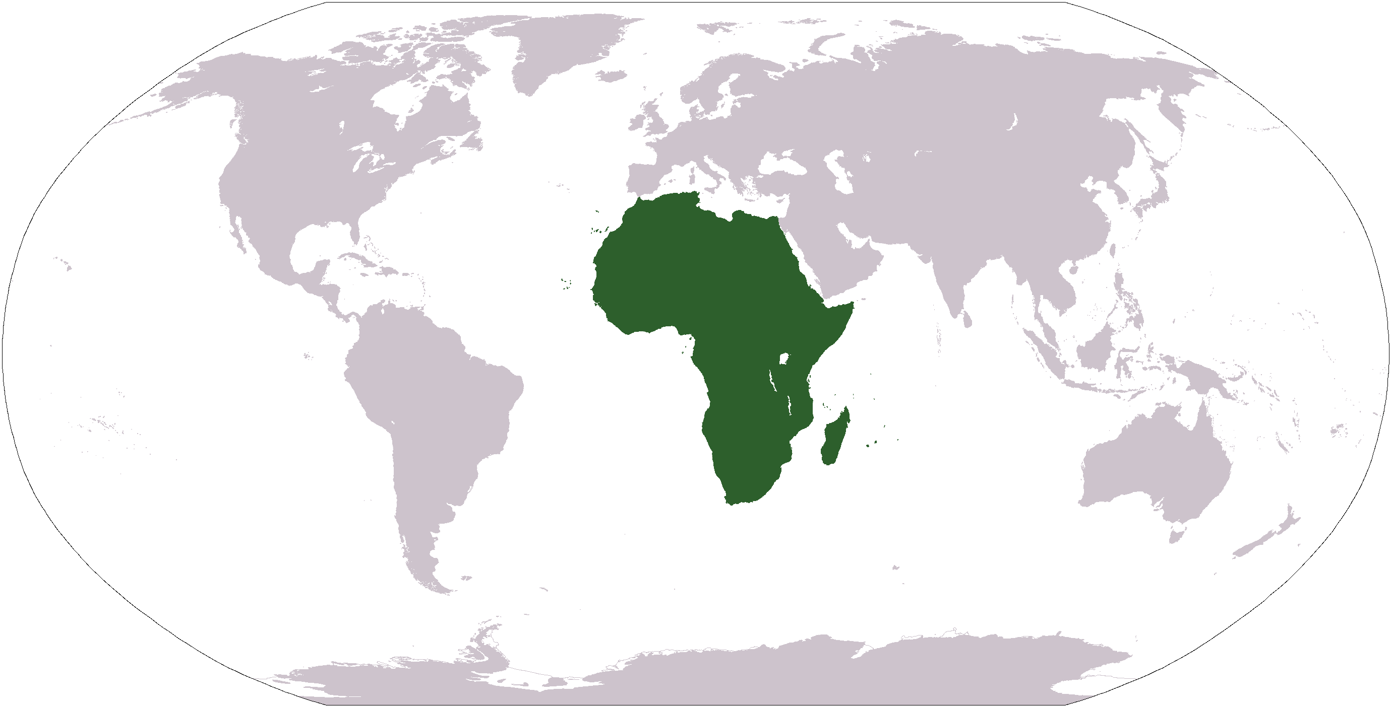 | 二七五九矩一四〇四(九九 KB) | F l a n k e r | Transparency |
| 二〇〇六年一月二二日 (日) 〇五時一五分 |  | 二七五九矩一四〇四(五五 KB) | E Pluribus Anthony~commonswiki | Reverted to earlier revision | |
| 二〇〇六年一月一五日 (日) 二二時四六分 |  | 二七五九矩一四〇四(八四 KB) | Huhsunqu | ||
| 二〇〇五年一一月三日 (四) 一九時二五分 |  | 二七五九矩一四〇四(五五 KB) | E Pluribus Anthony~commonswiki | World map: Africa (location) | |
| 二〇〇五年一〇月八日 (六) 〇一時一六分 |  | 二七五九矩一四〇四(五五 KB) | E Pluribus Anthony~commonswiki | World map: Africa (location) | |
| 二〇〇五年四月二九日 (五) 一五時五四分 |  | 二五〇矩一一六(一一 KB) | Rex | Eerdere versie hersteld | |
| 二〇〇五年四月二九日 (五) 一五時二〇分 |  | 一三八一矩七〇三(一六 KB) | Ghalas | Corrected version ((PD-USGov-CIA-WF)) | |
| 二〇〇五年四月二九日 (五) 一五時一八分 |  | 一三八一矩七〇三(一六 KB) | Ghalas | Corrected version ((PD-USGov-CIA-WF)) | |
| 二〇〇五年四月二九日 (五) 一五時〇六分 |  | 一三七七矩六九九(一六 KB) | Ghalas | Extracted from CIA World Factbook PDF world map, then rasterized and colored. ((PD-USGov-CIA-WF)) | |
| 二〇〇五年一月九日 (日) 〇六時三九分 |  | 二五〇矩一一六(一一 KB) | Tobias Conradi~commonswiki | from en:User:Morwen ((GFDL)) |
檔所繫者
總文之用
下他共筆連本檔:
- am.wikipedia.org上之用
- ang.wikipedia.org上之用
- arc.wikipedia.org上之用
- ar.wikipedia.org上之用
- البحر الأبيض المتوسط
- آسيا
- أوروبا
- قارة
- المحيط الهندي
- المحيط الهادئ
- القارة القطبية الجنوبية
- أوقيانوسيا
- أمريكا الشمالية
- أمريكا الجنوبية
- أوروبا الشرقية
- القطب الشمالي
- أوروبا الوسطى
- أوروبا الشمالية
- القوقاز
- شمال إفريقيا
- بوابة:مصر
- بحر
- المنطقة القطبية الجنوبية
- المحيط المتجمد الشمالي
- القرن الإفريقي
- غرب آسيا
- آسيا الوسطى
- جنوب آسيا
- شرق آسيا
- جنوب شرق آسيا
- المحيط المتجمد الجنوبي
- الكاريبي
檢視此檔案的更多全域使用狀況。
Text is available under the CC BY-SA 4.0 license; additional terms may apply.
Images, videos and audio are available under their respective licenses.
Cover photo is available under {{::mainImage.info.license.name || 'Unknown'}} license.
Cover photo is available under {{::mainImage.info.license.name || 'Unknown'}} license.
Credit:
(see original file).
