Тополиці (Нижньосілезьке воєводство)
Матеріал з Вікіпедії — вільної енциклопедії.
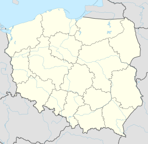
Тополиці (пол. Topolice) — село в Польщі, у гміні Бистшиця-Клодзька Клодзького повіту Нижньосілезького воєводства. Населення — 32 особи (2011[1]).
У 1975-1998 роках село належало до Валбжиського воєводства.
Демографічна структура станом на 31 березня 2011 року[1][2]:
| Загалом | Допрацездатний вік |
Працездатний вік |
Постпрацездатний вік | |
|---|---|---|---|---|
| Чоловіки | 18 | 5 | 12 | 1 |
| Жінки | 14 | 3 | 8 | 3 |
| Разом | 32 | 8 | 20 | 4 |
- ↑ а б в GUS. Ludność w miejscowościach statystycznych według ekonomicznych grup wieku. Stan w dniu 31.03.2011 r. [Населення статистичних місцевостей за економічними групами віку. Стан на 31.03.2011]. Процитовано 12 серпня 2018.
- ↑ Згідно з методологією GUS працездатний вік для чоловіків становить 18-64 років, для жінок — 18-59 років GUS. Pojęcia stosowane w statystyce publicznej [Терміни, які використовуються в публічній статистиці]. Процитовано 14 серпня 2018.
.
Адміністративний центр: Бистшиця-Клодзька | ||
| Міста | ||
| Села | Біла Вода • Вишкі • Вільканув • Вуйтовиці • Гута • Ґожанув • Длуґополе-Здруй • Длуґополе-Дольне • Заблоце • Залесе • Ідзікув • Каменна • Лясувка • Марцинкув • Марянувка • Мельник • Мендзиґуже • Млоти • Мостовиці • Нова Бистшиця • Нова Ломниця • Новий Валішув • Пашкув • Пйотровиці • Плавниця • Поніква • Понятув • Поремба • Пясковиці • Спальона • Стара Бистшиця • Стара Ломниця • Старий Валішув • Старкувек • Тополиці • Шкляри • Шклярка • Щавіна | |
Text is available under the CC BY-SA 4.0 license; additional terms may apply.
Images, videos and audio are available under their respective licenses.


