Slika:Libya relief location map.jpg
Velikost tega predogleda: 625 × 599 točk. Druge ločljivosti: 250 × 240 točk | 500 × 480 točk | 801 × 768 točk | 1.068 × 1.024 točk | 1.617 × 1.551 točk.
Izvorna datoteka (1.617 × 1.551 točk, velikost datoteke: 1,13 MB, MIME-vrsta: image/jpeg)
Spodaj prikazane informacije so s tamkajšnje opisne strani.
| Opis |
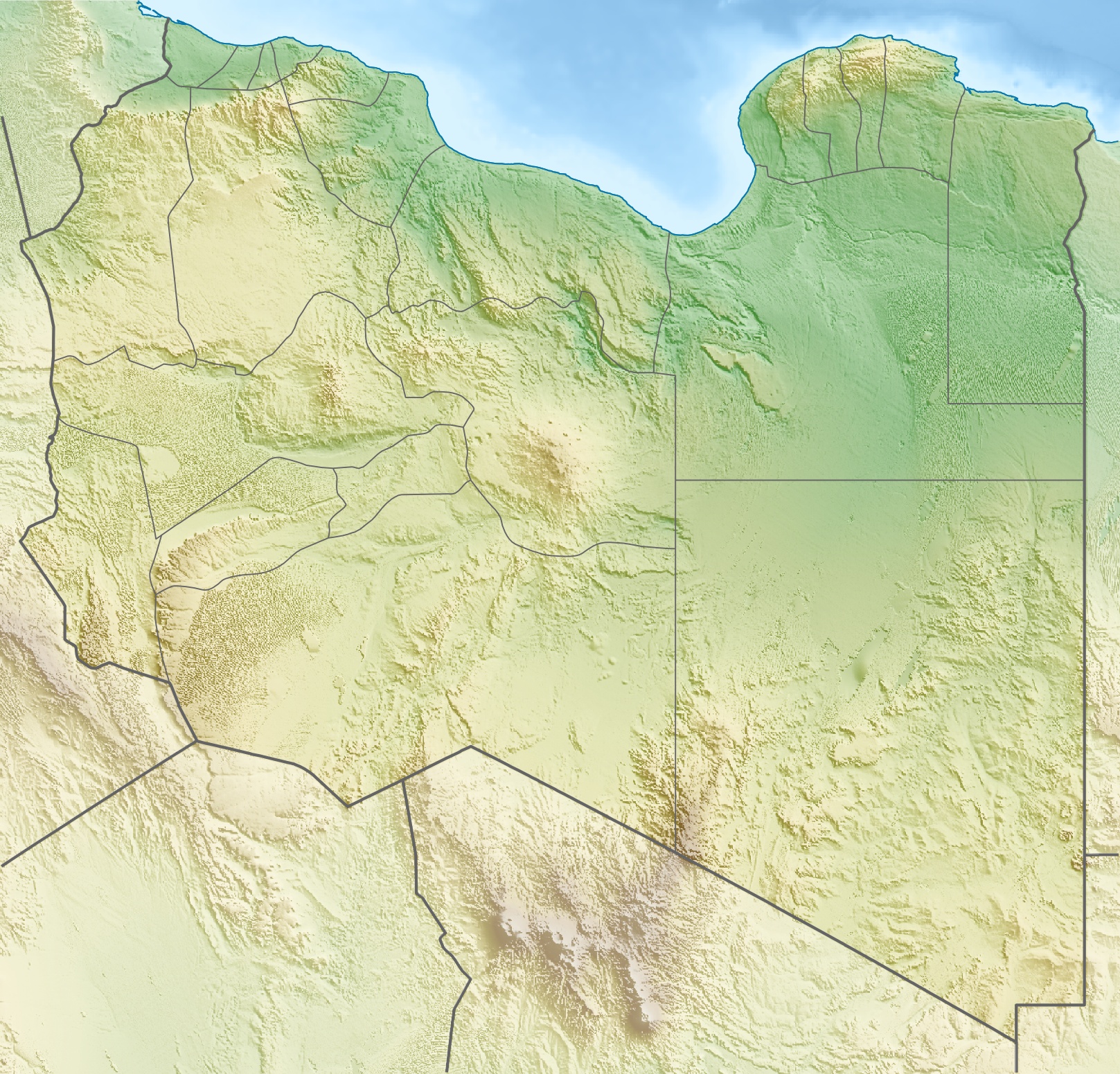
Deutsch: Physische Positionskarte von Libyen
Quadratische Plattkarte, N-S-Streckung 110 %. Geographische Begrenzung der Karte:
Equirectangular projection, N/S stretching 110 %. Geographic limits of the map:
|
| Datum | |
| Vir | lastno delo, using map data from administrative map by NordNordWest. The relief was created from SRTM-30 relief data |
| Avtor | Carport |
| Dovoljenje (Nadaljnja uporaba datoteke) |
Datoteka je objavljena pod licenco Creative Commons Priznanje avtorstva-Deljenje pod enakimi pogoji 3.0 Brez predelav.
|
| Druge različice |
|

. قرامطة زوامل
Zgodovina datoteke
Kliknite datum in čas za ogled datoteke, ki je bila takrat naložena.
| Datum in čas | Sličica | Velikost | Uporabnik | Komentar | |
|---|---|---|---|---|---|
| trenutno | 19:28, 9. maj 2011 | | 1.617 × 1.551 (1,13 MB) | Carport | right file... |
| 19:25, 9. maj 2011 |  | 1.617 × 1.551 (1,13 MB) | Carport | update | |
| 18:33, 11. marec 2010 |  | 1.617 × 1.551 (1,22 MB) | Carport | ((Information |Description=((de|Physische Positionskarte von ((w|Libyen|3=de)))) Quadratische Plattkarte, N-S-Streckung 110 %. Geographische Begrenzung der Karte: * N: 33.4° N * S: 19.1° N * W: 9.1° O * O: 25.5° O ((en|Physical location map of ((w|Lib |
Uporaba datoteke
Datoteka je del naslednjih 5 strani slovenske Wikipedije (strani drugih projektov niso navedene):
Globalna uporaba datoteke
To datoteko uporabljajo tudi naslednji vikiji:
- Uporaba na ar.wikipedia.org
- Uporaba na arz.wikipedia.org
- Uporaba na ast.wikipedia.org
- Uporaba na az.wikipedia.org
- Uporaba na ba.wikipedia.org
- Uporaba na be.wikipedia.org
- Uporaba na bg.wikipedia.org
Oglejte si globalno uporabo te datoteke.
Metapodatki
Text is available under the CC BY-SA 4.0 license; additional terms may apply.
Images, videos and audio are available under their respective licenses.
Cover photo is available under {{::mainImage.info.license.name || 'Unknown'}} license.
Cover photo is available under {{::mainImage.info.license.name || 'Unknown'}} license.
Credit:
(see original file).
