Datoteka:Center-moriches-map.png
Izvor: Wikipedija
Veća rezolucija nije dostupna.
Center-moriches-map.png (575 × 425 piksela, veličina datoteke/fajla: 57 kB, MIME tip: image/png)
Opis izmjene

|
Ova datoteka je premještena na Wikimedijin Zajednički poslužitelj s en.wikipedia uz pomoć bota. Svi izvorni podaci još uvijek su prisutni te zahtijevaju provjeru. Moguće je da postoje greške u nekim ili svim poljima s podacima. Podaci na ovoj datoteci ne bi se trebali smatrati vjerodostojnima i datoteku ne bi trebalo rabiti sve dok ne bude provjerena i dok ne budu učinjeni svi potrebi ispravci. Jednom kad se provjera dovrši, ovaj bi predložak trebao biti uklonjen. Za detalje o ovoj datoteci, pogledajte niže. Provjerite odmah! |
| Opis | |
| Datum | |
| Izvor | http://factfinder.census.gov |
| Autor | United States Census Bureau |
| Dopuštenje (Ponovna upotreba ove datoteke) |
Public domain |
Licenciranje
This image or file is a work of a United States Census Bureau employee, taken or made as part of that person's official duties. As a work of the U.S. federal government, the image is in the public domain.
|
 |
Izvorna evidencija postavljanja
Transferred from en.wikipedia to Commons by Milicevic01 using CommonsHelper.
The original description page was here. All following user names refer to en.wikipedia.
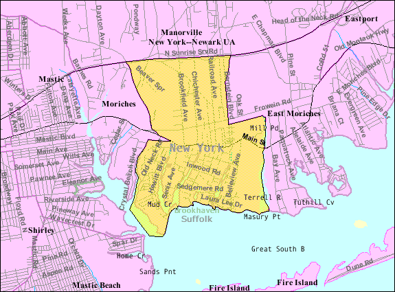
- 2007-10-23 09:24 Americasroof 575×425× (59337 bytes) [[Center Moriches, New York]] map from U.S. Census
Izvorna evidencija postavljanja
| Datum/vrijeme | Dimenzije | Korisnik | Komentar |
|---|---|---|---|
| 22. august 2013., 11:50:37 | 575 × 425 (59337 bytes) | File Upload Bot (Magnus Manske) (razgovor · doprinosi) | Transfered from en.wikipedia by [[User:Milicevic01]] using CommonsHelper |
Historija datoteke
Kliknite na datum/vrijeme da biste vidjeli tadašnju verziju datoteke.
| Datum/vrijeme | Minijatura | Dimenzije | Korisnik | Komentar | |
|---|---|---|---|---|---|
| aktualna | 01:59, 21 novembar 2014 | | 575 × 425 (57 kB) | GifTagger | Bot: Converting file to superior PNG file. (Source: Center-moriches-map.gif). This GIF was problematic due to non-greyscale color table. |
Upotreba datoteke
Sljedeća stranica koristi ovu datoteku:
Globalna upotreba datoteke
Ovu datoteku upotrebljavaju i sljedeći projekti:
- Upotreba na projektu ar.wikipedia.org
- Upotreba na projektu azb.wikipedia.org
- Upotreba na projektu ca.wikipedia.org
- Upotreba na projektu ceb.wikipedia.org
- Upotreba na projektu en.wikipedia.org
- Upotreba na projektu es.wikipedia.org
- Upotreba na projektu eu.wikipedia.org
- Upotreba na projektu fa.wikipedia.org
- Upotreba na projektu fr.wikipedia.org
- Upotreba na projektu sr.wikipedia.org
- Upotreba na projektu tt.wikipedia.org
- Upotreba na projektu www.wikidata.org
Text is available under the CC BY-SA 4.0 license; additional terms may apply.
Images, videos and audio are available under their respective licenses.
Cover photo is available under {{::mainImage.info.license.name || 'Unknown'}} license.
Cover photo is available under {{::mainImage.info.license.name || 'Unknown'}} license.
Credit:
(see original file).
