Valoura
| ||||
|---|---|---|---|---|
| Freguesia | ||||
| Símbolos | ||||
| ||||
| Localização | ||||
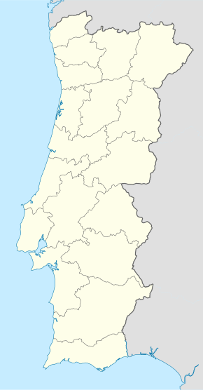
| Localização de Valoura em Portugal | ||||
| Coordenadas | 41° 34′ 17″ N, 7° 32′ 36″ O | |||
| Região | Norte | |||
| Sub-região | Alto Tâmega | |||
| Distrito | Vila Real | |||
| Município | ||||
| Código | 171313 | |||
| Administração | ||||
| Tipo | Junta de freguesia | |||
| Características geográficas | ||||
| Área total | 14,40 km² | |||
| População total (2021) | 295 hab. | |||
| Densidade | 20,5 hab./km² | |||
| Outras informações | ||||
| Orago | Santa Iria | |||
Valoura é uma freguesia portuguesa do município de Vila Pouca de Aguiar, com 14,40 km² de área[1] e 295 habitantes (censo de 2021)[2]. A sua densidade populacional é 20,5 hab./km².
Está situada na encosta da Serra da Padrela, 13 km a nordeste da sede do concelho. Inclui no seu território os seguintes lugares: Cubas, Valoura e Vila do Conde. É sobretudo notável a típica aldeia de Cubas, com a sua igrejinha de Santa Bárbara e São Luís, e a Casa Grande da Morgada de Cubas, ou Casa dos Alferes e dos Capitães. Em Valoura, o Solar dos Sousas Machados e a igreja paroquial de Santa Iria Mártir.
Demografia
[editar | editar código-fonte]A população registada nos censos foi:[2]
| ||||||||||||||||||||||||||||||||||||||||||||||||||||||
| Distribuição da População por Grupos Etários[4] | ||||
|---|---|---|---|---|
| Ano | 0-14 Anos | 15-24 Anos | 25-64 Anos | > 65 Anos |
| 2001 | 61 | 70 | 211 | 109 |
| 2011 | 46 | 28 | 180 | 122 |
| 2021 | 21 | 35 | 129 | 110 |
Património
[editar | editar código-fonte]- Igreja Matriz de Valoura - foi edificada à custa dos emigrantes brasileiros desta freguesia.
- Capela de Santa Bárbara, de Cubas
- Capela em Vila do Conde
Referências
- ↑ «Carta Administrativa Oficial de Portugal CAOP 2013». descarrega ficheiro zip/Excel. IGP Instituto Geográfico Português. Consultado em 10 de dezembro de 2013. Arquivado do original em 9 de dezembro de 2013
- ↑ a b Instituto Nacional de Estatística (23 de novembro de 2022). «Censos 2021 - resultados definitivos»
- ↑ Instituto Nacional de Estatística (Recenseamentos Gerais da População) - https://www.ine.pt/xportal/xmain?xpid=INE&xpgid=ine_publicacoes
- ↑ INE. «Censos 2011». Consultado em 11 de dezembro de 2022
Text is available under the CC BY-SA 4.0 license; additional terms may apply.
Images, videos and audio are available under their respective licenses.


