Plik:Ivory Coast March 2011 offensive map.png
Rozmiar pierwotny (2366 × 2911 pikseli, rozmiar pliku: 662 KB, typ MIME: image/png)
| Plik Ivory Coast March 2011 offensive map.png znajduje się w Wikimedia Commons – repozytorium wolnych zasobów. Dane z jego strony opisu znajdują się poniżej. |
| Opis |
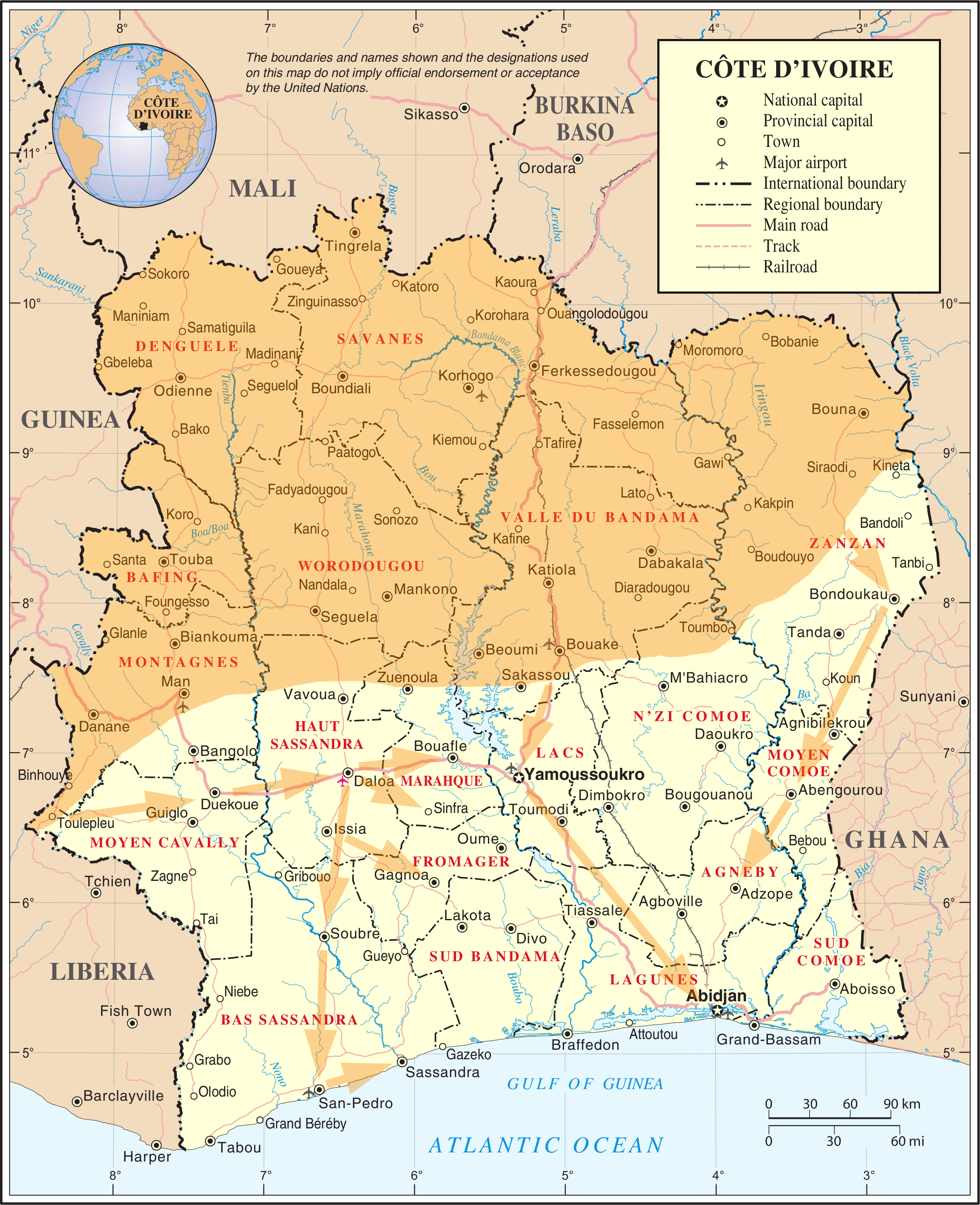
English: Map of the March 2011 Republican Forces offensive in Ivory Coast |
|||
| Data | ||||
| Źródło | Adapted from File:Un-cotedivoire.png | |||
| Autor | User:Prioryman | |||
| Licencja (Ponowne użycie tego pliku) |
|

Historia pliku
Kliknij na datę/czas, aby zobaczyć, jak plik wyglądał w tym czasie.
| Data i czas | Miniatura | Wymiary | Użytkownik | Opis | |
|---|---|---|---|---|---|
| aktualny | 04:12, 1 kwi 2011 | | 2366 × 2911 (662 KB) | Prioryman | Added new arrows |
| 03:32, 1 kwi 2011 |  | 2366 × 2911 (661 KB) | Prioryman | Amended arrows | |
| 02:55, 1 kwi 2011 |  | 2366 × 2911 (661 KB) | Prioryman | Amended arrows | |
| 02:53, 1 kwi 2011 |  | 2366 × 2911 (659 KB) | Prioryman | Amended arrows | |
| 01:14, 1 kwi 2011 |  | 2366 × 2911 (648 KB) | Prioryman | ((Information |Description =((en|1=Map of the March 2011 Republican Forces offensive in Ivory Coast)) |Source =Adapted from File:Un-cotedivoire.png |Author =User:Prioryman |Date =2011/04/01 |Permission =((UN map)) |
Lokalne wykorzystanie pliku
Następujące strony korzystają z tego pliku:
Globalne wykorzystanie pliku
Ten plik jest wykorzystywany także w innych projektach wiki:
- Wykorzystanie na ar.wikipedia.org
- Wykorzystanie na be.wikipedia.org
- Wykorzystanie na ca.wikipedia.org
- Wykorzystanie na cs.wikipedia.org
- Wykorzystanie na de.wikipedia.org
- Wykorzystanie na el.wikinews.org
- Wykorzystanie na en.wikipedia.org
- Wykorzystanie na es.wikipedia.org
- Wykorzystanie na es.wikinews.org
- Wykorzystanie na fr.wikipedia.org
- Wykorzystanie na gl.wikipedia.org
- Wykorzystanie na he.wikipedia.org
- Wykorzystanie na hu.wikipedia.org
- Wykorzystanie na ka.wikipedia.org
- Wykorzystanie na no.wikipedia.org
- Wykorzystanie na pt.wikipedia.org
- Wykorzystanie na ru.wikipedia.org
- Wykorzystanie na sv.wikipedia.org
- Wykorzystanie na www.wikidata.org
- Wykorzystanie na zh.wikipedia.org
Text is available under the CC BY-SA 4.0 license; additional terms may apply.
Images, videos and audio are available under their respective licenses.
