Macaubal
| |||||
| Państwo | |||||
|---|---|---|---|---|---|
| Stan | |||||
| Data założenia |
1928 | ||||
| Powierzchnia |
248,65[1] km² | ||||
| Populacja (2010) • liczba ludności • gęstość |
| ||||
| Nr kierunkowy |
17 | ||||
Położenie na mapie São Paulo 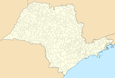 | |||||
Położenie na mapie Brazylii 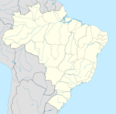 | |||||
| Strona internetowa | |||||


Macaubal – miasto i gmina w Brazylii, w stanie São Paulo. Znajduje się w mezoregionie São José do Rio Preto i mikroregionie Nhandeara.
Przypisy
[edytuj | edytuj kod]- ↑ Área territorial oficial. seade.gov.br:80. [zarchiwizowane z tego adresu (2014-01-03)].
- ↑ Censo Populacional 2010
Text is available under the CC BY-SA 4.0 license; additional terms may apply.
Images, videos and audio are available under their respective licenses.
Cover photo is available under {{::mainImage.info.license.name || 'Unknown'}} license.
Cover photo is available under {{::mainImage.info.license.name || 'Unknown'}} license.
Credit:
(see original file).
