Garupá

| |
| Państwo | |
|---|---|
| Prowincja | |
| Wysokość |
102 m n.p.m. |
| Populacja (2010) • liczba ludności |
|
| Nr kierunkowy |
0376 |
| Kod pocztowy |
N3304 |
Położenie na mapie Misiones 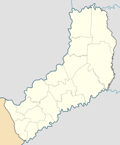 | |
Położenie na mapie Argentyny  | |
Garupá – miasto w Argentynie, położone w południowej części prowincji Misiones, nad rzeką Parana, stanowiącą granicę z Paragwajem.
Opis
[edytuj | edytuj kod]Miejscowość została założona w 1911 roku. W mieście jest węzeł drogowy-RN12 i RN105, przebiega też linia kolejowa[1].
Demografia
[edytuj | edytuj kod]
Zobacz też
[edytuj | edytuj kod]Przypisy
[edytuj | edytuj kod]- ↑ Railways in Argentina [online], www.trenes1.tripod.com [dostęp 2018-04-07] (hiszp.).
Text is available under the CC BY-SA 4.0 license; additional terms may apply.
Images, videos and audio are available under their respective licenses.
Cover photo is available under {{::mainImage.info.license.name || 'Unknown'}} license.
Cover photo is available under {{::mainImage.info.license.name || 'Unknown'}} license.
Credit:
(see original file).
