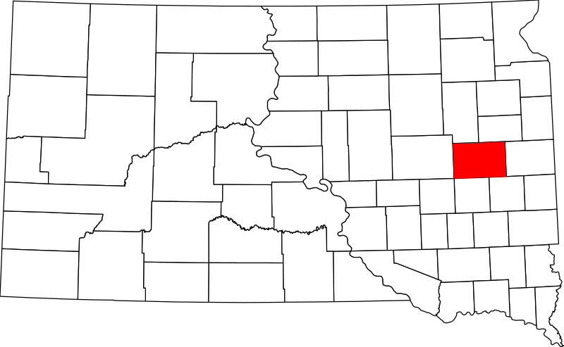
Bestand:Map of South Dakota highlighting Kingsbury County.svg

Oorspronkelijk bestand (SVG-bestand, nominaal 1.779 × 1.095 pixels, bestandsgrootte: 39 kB)
Bestandsgeschiedenis
Klik op een datum/tijd om het bestand te zien zoals het destijds was.
| Datum/tijd | Miniatuur | Afmetingen | Gebruiker | Opmerking | |
|---|---|---|---|---|---|
| huidige versie | 25 jun 2024 17:50 |  | 1.779 × 1.095 (39 kB) | Nux | uniform colors with good contrast |
| 19 jun 2024 20:55 |  | 1.779 × 1.095 (39 kB) | Nux | fix rendering (remove clipping) | |
| 12 feb 2006 18:29 |  | 6.226 × 3.832 (47 kB) | David Benbennick | ((subst:User:Dbenbenn/clm|county=Kingsbury County|state=South Dakota|type=county)) |
Bestandsgebruik
Dit bestand wordt op de volgende pagina gebruikt:
Globaal bestandsgebruik
De volgende andere wiki's gebruiken dit bestand:
- Gebruikt op ar.wikipedia.org
- Gebruikt op bg.wikipedia.org
- Gebruikt op bpy.wikipedia.org
- Gebruikt op cdo.wikipedia.org
- Gebruikt op ceb.wikipedia.org
- Gebruikt op ce.wikipedia.org
- Gebruikt op cy.wikipedia.org
- Gebruikt op de.wikipedia.org
- Gebruikt op en.wikipedia.org
- List of counties in South Dakota
- Kingsbury County, South Dakota
- Badger, South Dakota
- Bancroft, South Dakota
- De Smet, South Dakota
- Erwin, South Dakota
- Hetland, South Dakota
- Lake Preston, South Dakota
- Oldham, South Dakota
- Iroquois, South Dakota
- Arlington, South Dakota
- Manchester, South Dakota
- Template:Kingsbury County, South Dakota
- User:Nyttend/County templates/SD
- National Register of Historic Places listings in Kingsbury County, South Dakota
- Category:Populated places in Kingsbury County, South Dakota
- Esmond, South Dakota
- Osceola, South Dakota
- Spring Lake Colony, South Dakota
- Gebruikt op es.wikipedia.org
- Gebruikt op eu.wikipedia.org
- Gebruikt op fa.wikipedia.org
- Gebruikt op frr.wikipedia.org
- Gebruikt op fr.wikipedia.org
- Gebruikt op ga.wikipedia.org
- Gebruikt op glk.wikipedia.org
Globaal gebruik van dit bestand bekijken.
Metadata
Text is available under the CC BY-SA 4.0 license; additional terms may apply.
Images, videos and audio are available under their respective licenses.
