Fail:Leicester Forest East Service Area, M1 - geograph.org.uk - 217293.jpg
Tiada leraian lebih besar.
Leicester_Forest_East_Service_Area,_M1_-_geograph.org.uk_-_217293.jpg (640 × 427 piksel, saiz fail: 80 KB, jenis MIME: image/jpeg)
Ringkasan
| Keterangan |
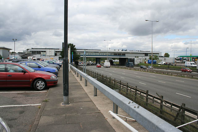
English: Leicester Forest East Service Area, M1 |
| Tarikh | |
| Sumber | From geograph.org.uk |
| Pengarang | Kate Jewell |
| Kebenaran (Penggunaan semula fail ini) |
Creative Commons Attribution Share-alike license 2.0 |
| Lokasi kamera | | Paparkan imej ini dan imej berdekatan yang lain di: OpenStreetMap |
|---|
| Lokasi objek | | Paparkan imej ini dan imej berdekatan yang lain di: OpenStreetMap |
|---|
Perlesenan

|
This image was taken from the Geograph project collection. See this photograph's page on the Geograph website for the photographer's contact details. The copyright on this image is owned by Kate Jewell and is licensed for reuse under the Creative Commons Attribution-ShareAlike 2.0 license.
|
Fail ini dilesenkan di bawah lesen Pengiktirafan-Perkongsian Serupa 2.0 Umum Creative Commons.
Pengiktirafan: Kate Jewell
- Anda bebas:
- untuk berkongsi – untuk menyalin, mengedar dan memindah hasil kerja
- untuk mencampur semula – untuk menyesuaikan karya
- Di bawah syarat berikut:
- pengiktirafan – Anda mesti memberi penghargaan yang berpatutan, bekalkan pautan ke lesen, dan tunjukkan jika perubahan telah dibuat. Anda boleh lakukannya dalam sebarang cara yang munasabah, tetapi bukan dalam sebarang cara yang mencadangkan pemberi lesen mengendors anda atau penggunaan anda.
- perkongsian serupa – Jika anda mengubah, adun semula, atau menokok tambah bahan, anda mesti menyebarkan sumbangan anda di bawah lesen yang sama atau serasi dengan yang asal.
Sejarah fail
Klik pada tarikh/waktu untuk melihat rupa fail tersebut pada waktu itu.
| Tarikh/Waktu | Gambar kenit | Ukuran | Pengguna | Komen | |
|---|---|---|---|---|---|
| semasa | 17:37, 28 Oktober 2006 | | 640 × 427 (80 KB) | Regan123~commonswiki | ((geograph|SK5302|Kate Jewell)) Leicester Forest East Service Area, M1 |
Penggunaan fail
Laman berikut menggunakan fail ini:
Penggunaan fail sejagat
Fail ini digunakan oleh wiki-wiki lain yang berikut:
- Penggunaan di ceb.wikipedia.org
- Penggunaan di en.wikipedia.org
- Penggunaan di eu.wikipedia.org
- Penggunaan di fr.wikipedia.org
- Penggunaan di nl.wikipedia.org
- Penggunaan di pl.wikipedia.org
- Penggunaan di www.wikidata.org
Metadata
Text is available under the CC BY-SA 4.0 license; additional terms may apply.
Images, videos and audio are available under their respective licenses.
Cover photo is available under {{::mainImage.info.license.name || 'Unknown'}} license.
Cover photo is available under {{::mainImage.info.license.name || 'Unknown'}} license.
Credit:
(see original file).
