Сурат:Erzurum districts.png
ХьхьичӀмур ябитавул кӀушиву: 776 × 600 пикселду. Рухсатрув: 311 × 240 пикселду | 621 × 480 пикселду | 994 × 768 пикселду | 1056 × 816 пикселду.
Дайдихьулийсса сурат (1056 × 816 пиксельду, суратдалул кӀушиву: 38 КБ, MIME жура: image/png)
КутӀасса бусала
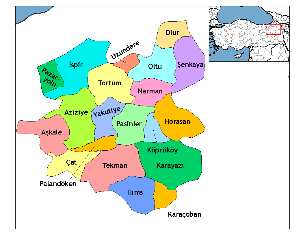
| Сурат даву | Map of the districts of Erzurum province in Turkey. Created by Rarelibra 19:53, 1 December 2006 (UTC) for public domain use, using MapInfo Professional v8.5 and various mapping resources. Edited by One Homo Sapiens Corrected text where İ,Ş,ı,ğ,or ş occurs in name. Source: [statoids-com]. Increased font size and enhanced color differences among adjacent districts. |
| Кьини | 1 декабрданий 2006 (дата первоначальной загрузки файла на вики) |
| Ляхъаву | No machine-readable source provided. Own work assumed (based on copyright claims). |
| Дурма | No machine-readable author provided. Rarelibra assumed (based on copyright claims). |
Лицензия бушиву
| Я, владелец авторских прав на это произведение, передаю его в общественное достояние. Это разрешение действует по всему миру. В некоторых странах это не может быть возможно юридически, в таком случае: Я даю право кому угодно использовать данное произведение в любых целях без каких-либо условий, за исключением таких условий, которые требуются по закону. |
Суратданул тарих
Бас ба кьини/чӀун хьхьичӀсса сурат ккаккан.
| Кьини/чӀун | ЧӀивисса эбрат | Куцру | Гьуртту хьума | ХӀучча | |
|---|---|---|---|---|---|
| хӀакьинусса | 02:52, 18 апрелданий 2009 | | 1056 × 816 (38 КБ) | One Homo Sapiens | Added Aziziye, Palandöken and Yakutiye, that replaced Erzurum merkezi and Ilıca districts. Source: << www.erzurum.gov.tr >> |
| 22:20, 28 декабрданий 2008 |  | 1056 × 816 (41 КБ) | One Homo Sapiens | Corrected text where İ,Ş,ı,ğ,or ş occurs in name. Source: [statoids-com]. Increased font size and enhanced color differences among adjacent districts. | |
| 19:53, 1 декабрданий 2006 |  | 1056 × 816 (35 КБ) | Rarelibra | Map of the districts of Erzurum province in Turkey. Created by ~~~~ for public domain use, using MapInfo Professional v8.5 and various mapping resources. |
Суратданул ишла баву
Хъирив нанисса 22 чӀапӀив ишла дай ва сурат:
Щаллагу дунияллул суратрая мюнпат ласаву
Ва файл ишла дайсар вай викирдал:
- Ишла баву ar.wikipedia.org
- Ишла баву arz.wikipedia.org
- Ишла баву ast.wikipedia.org
- Ишла баву azb.wikipedia.org
- Ишла баву ba.wikipedia.org
- Ишла баву bs.wikipedia.org
- Ишла баву ca.wikipedia.org
- Ишла баву cs.wikipedia.org
- Ишла баву de.wikipedia.org
- Ишла баву diq.wikipedia.org
- Ишла баву en.wikipedia.org
Ххал дан щала дунияллул аьркин шаву ва файлдул
Text is available under the CC BY-SA 4.0 license; additional terms may apply.
Images, videos and audio are available under their respective licenses.
Cover photo is available under {{::mainImage.info.license.name || 'Unknown'}} license.
Cover photo is available under {{::mainImage.info.license.name || 'Unknown'}} license.
Credit:
(see original file).
