Fichier:Arrondissement de Laon - Canton de Chauny.PNG
Et gëtt keng méi héich Opléisung.
Arrondissement_de_Laon_-_Canton_de_Chauny.PNG (572 × 483 Pixel, Fichiersgréisst: 18 KB, MIME-Typ: image/png)
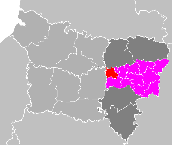
| Beschreiwung | Maps of arrondissements and cantons of France: Arrondissement de Laon |
| Datum | |
| Quell | Eegent Wierk |
| Auteur | M.Minderhoud |
| Ich, der Urheberrechtsinhaber dieses Werkes, veröffentliche es als gemeinfrei. Dies gilt weltweit. An eenzele Länner ass dat legal net méiglech; an deem Fall: Ech ginn heimat jiddwerengem d'Recht dëst Wierk fir all Zweck ze benotzen, ouni iergendeng Konditioun, ausser de Konditiounen déi vum Gesetz verlaangt sinn. |
Versiounen
Klickt op e bestëmmten Zäitpunkt fir déi respektiv Versioun vum Fichier ze kucken.
| Versioun vum | Miniaturbild | Dimensiounen | Benotzer | Bemierkung | |
|---|---|---|---|---|---|
| aktuell | 20:49, 28. Mee 2009 | | 572 × 483 (18 KB) | Olivier Voulpaix | Modification de la limite des cantons de Laon-Nord et Laon-Sud à partir de [http://www.aisne.com/images/conseillers/carte_aisne.gif] |
| 12:55, 13. Abr. 2007 |  | 572 × 483 (18 KB) | Michiel1972 | ((Information |Description= Maps of arrondissements and cantons of France: Arrondissement de Laon |Source= |Date=april 2007 |Author= M.Minderhoud |Permission= |other_versions= )) ((PD-self)) [[Category:Maps of arrondissem |
Benotze vu Fichieren
Dës Säit benotzt dëse Fichier:
Globaalt Benotze vum Fichier
Dës aner Wikie benotzen dëse Fichier:
- Benotzt op fr.wikipedia.org
- Benotzt op sl.wikipedia.org
Text is available under the CC BY-SA 4.0 license; additional terms may apply.
Images, videos and audio are available under their respective licenses.
Cover photo is available under {{::mainImage.info.license.name || 'Unknown'}} license.
Cover photo is available under {{::mainImage.info.license.name || 'Unknown'}} license.
Credit:
(see original file).
