파일:Antarctica satellite.jpg
미리 보기 크기: 600 × 600 픽셀 다른 해상도: 240 × 240 픽셀 | 480 × 480 픽셀 | 900 × 900 픽셀
원본 파일 (900 × 900 픽셀, 파일 크기: 308 KB, MIME 종류: image/jpeg)
파일 설명
| 설명 |
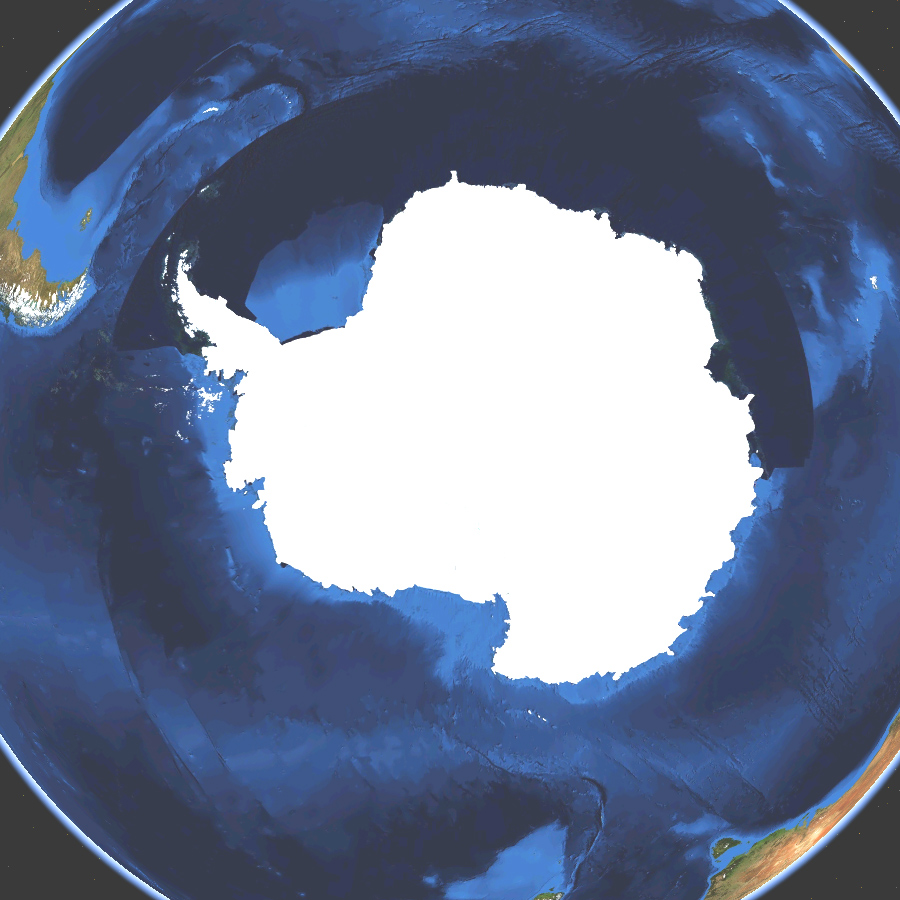
English: Satellite map of Antarctica. Land terrain and bathymetry (ocean-floor topography). |
| 날짜 | |
| 출처 | Own work by uploader, made with NASA World Wind. |
| 저자 | Koyos |
| 다른 버전 |
|


라이선스
| 나는 이 작품의 저작권자로서, 이 작품을 퍼블릭 도메인으로 모두에게 공개합니다. 이 공개 선언은 전 세계적으로 유효합니다. 만약 저작권의 포기가 법률적으로 가능하지 않은 경우, 나는 이 작품을 법적으로 허용되는 한도 내에서 누구나 자유롭게 어떤 목적으로도 제한없이 사용할 수 있도록 허용합니다. |
파일 역사
날짜/시간 링크를 클릭하면 해당 시간의 파일을 볼 수 있습니다.
| 날짜/시간 | 섬네일 | 크기 | 사용자 | 설명 | |
|---|---|---|---|---|---|
| 현재 | 2009년 3월 15일 (일) 12:23 | | 900 × 900 (308 KB) | Koyos | ((Information |Description=((en|1=Satellite map of Antartica. Terrain and ocean topography.)) |Source=Own work by uploader |Author=Koyos |Date=2009-03-15 |Permission= |other_versions= )) <!--((ImageUpload|full))--> [[Category:Geography of |
이 파일을 사용하는 문서
다음 문서 1개가 이 파일을 사용하고 있습니다:
이 파일을 사용하고 있는 모든 위키의 문서 목록
다음 위키에서 이 파일을 사용하고 있습니다:
- ceb.wikipedia.org에서 이 파일을 사용하고 있는 문서 목록
- et.wikipedia.org에서 이 파일을 사용하고 있는 문서 목록
- id.wikipedia.org에서 이 파일을 사용하고 있는 문서 목록
- sv.wikipedia.org에서 이 파일을 사용하고 있는 문서 목록
Text is available under the CC BY-SA 4.0 license; additional terms may apply.
Images, videos and audio are available under their respective licenses.
Cover photo is available under {{::mainImage.info.license.name || 'Unknown'}} license.
Cover photo is available under {{::mainImage.info.license.name || 'Unknown'}} license.
Credit:
(see original file).
