For faster navigation, this Iframe is preloading the Wikiwand page for 佐々里峠.

佐々里峠

京都府道38号標識
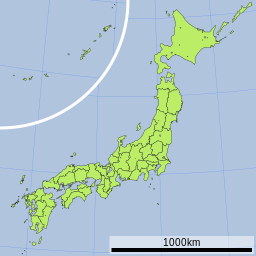
佐々里峠の位置(日本内)
佐々里峠
佐々里峠の位置

佐々里峠(ささりとうげ)は、京都府京都市左京区と同府南丹市を隔てるである。

概要

[編集]

標高735mの京都府道38号上に位置する峠である。京都市左京区広河原尾花町と南丹市美山町佐々里を隔てている。丹波高地の東部に位置する鞍部であり、ここより北は若丹山地とも呼ばれる。平家落ち武者がこの峠を越えたと伝えられ、左京区内の久多や広河原には落ち武者が作ったとされる集落が多く残っている。

道路状況

[編集]
冬季積雪封鎖告知看板

車両での通行が可能な峠である。片側1車線の確保された道路を有しており、主要地方道の峠らしい峠といえる。しかし当地は豪雪地帯である為、冬季は毎年12月15日頃から翌年の3月15日頃まで通行止めとなる。2009年現在、京都から自動車で湖北を通過しようとした場合、最も南で丹波高地を越えることのできる峠となっており、夏季には交通量も多い峠である。これを解消するために佐々里トンネル(仮称)(1,350m)を計画中である。

2022年1月18日には、京都府道38号の南丹市美山町芦生地内で道路法面が崩落、芦生などの集落が孤立した。このため、既に冬季通行止めになっていた佐々里峠の緊急除雪が行われ、通行が可能となった[1]

隣接する峠

[編集]

脚注

[編集]

関連項目

[編集]
{{bottomLinkPreText}} {{bottomLinkText}}
佐々里峠
Listen to this article

This browser is not supported by Wikiwand :(
Wikiwand requires a browser with modern capabilities in order to provide you with the best reading experience.
Please download and use one of the following browsers:

This article was just edited, click to reload
This article has been deleted on Wikipedia (Why?)

Back to homepage

Please click Add in the dialog above
Please click Allow in the top-left corner,
then click Install Now in the dialog
Please click Open in the download dialog,
then click Install
Please click the "Downloads" icon in the Safari toolbar, open the first download in the list,
then click Install
{{::$root.activation.text}}

Install Wikiwand

Install on Chrome Install on Firefox
Don't forget to rate us

Tell your friends about Wikiwand!

Gmail Facebook Twitter Link

Enjoying Wikiwand?

Tell your friends and spread the love:
Share on Gmail Share on Facebook Share on Twitter Share on Buffer

Our magic isn't perfect

You can help our automatic cover photo selection by reporting an unsuitable photo.

This photo is visually disturbing This photo is not a good choice

Thank you for helping!


Your input will affect cover photo selection, along with input from other users.

X

Get ready for Wikiwand 2.0 🎉! the new version arrives on September 1st! Don't want to wait?