Provincia di San Martín
Da Wikipedia, l'enciclopedia libera.
| Provincia di San Martín provincia | |
|---|---|
| Municipalidad Provincial de San Martín | |
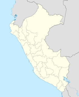
| Localizzazione | |
| Stato | |
| Regione | |
| Amministrazione | |
| Capoluogo | Tarapoto |
| Sindaco | Tedy Del Águila Gronerth dal 2019 |
| Lingue ufficiali | spagnolo |
| Territorio | |
| Coordinate del capoluogo | 6°29′20″S 76°21′43″W |
| Superficie | 5 639,82 km² |
| Abitanti | 161 132[1] (2007) |
| Densità | 28,57 ab./km² |
| Altre informazioni | |
| Fuso orario | UTC-5 |
| Cartografia | |
 | |
La provincia di San Martín è una provincia del Perù, situata nella regione omonima.
Geografia antropica
[modifica | modifica wikitesto]Suddivisioni amministrative
[modifica | modifica wikitesto]È divisa in 14 distretti:
- Alberto Leveau (Utcurarca)
- Cacatachi (Cacatachi)
- Chazuta (Chazuta)
- Chipurana (Navarro)
- El Porvenir (Pelejo)
- Huimbayoc (Huimbayoc)
- Juan Guerra (Juan Guerra)
- La Banda de Shilcayo (La Banda)
- Morales (Morales)
- Papaplaya (Papaplaya)
- San Antonio (San Antonio)
- Sauce (Sauce)
- Shapaja (Shapaja)
- Tarapoto (Tarapoto)
Note
[modifica | modifica wikitesto]- ^ (ES) Dati forniti dal Banco de Información Distrital dell'Instituto Nacional de Estadística e Informática - INEI [collegamento interrotto], su censos.inei.gob.pe. URL consultato il 22-01-2010.
Voci correlate
[modifica | modifica wikitesto]Altri progetti
[modifica | modifica wikitesto] Wikimedia Commons contiene immagini o altri file su provincia di San Martín
| Controllo di autorità | BNF (FR) cb13616704k (data) |
|---|
Text is available under the CC BY-SA 4.0 license; additional terms may apply.
Images, videos and audio are available under their respective licenses.
Cover photo is available under {{::mainImage.info.license.name || 'Unknown'}} license.
Cover photo is available under {{::mainImage.info.license.name || 'Unknown'}} license.
Credit:
(see original file).
