Distretto di Sa Pa
Da Wikipedia, l'enciclopedia libera.
| Distretto di Sa Pa distretto | |
|---|---|
 | |
| Localizzazione | |
| Stato | |
| Regione | Dong Bac |
| Provincia | Lao Cai |
| Territorio | |
| Coordinate | 22°20′08.52″N 103°50′30.08″E |
| Altitudine | 1 600 m s.l.m. |
| Superficie | 684,74 km² |
| Abitanti | 65 695[1] (2019) |
| Densità | 95,94 ab./km² |
| Altre informazioni | |
| Fuso orario | UTC+7 |
| Cartografia | |
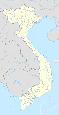 Distretto di Sa Pa | |
| Sito istituzionale | |
Sa Pa è una cittadina (thị xã) nel nord del Vietnam al confine con la Repubblica popolare cinese. Il distretto si trova nella parte occidentale della provincia di Lao Cai. La maggioranza di Hmong vive nel distretto, ma anche Yao e Vietnamiti vivono lì.
Note
[modifica | modifica wikitesto]- ^ KẾT QUẢ TOÀN BỘ TỔNG ĐIỀU TRA DÂN SỐ VÀ NHÀ Ở NĂM 2019 (PDF), su gso.gov.vn, p. 12. URL consultato il 13 aprile 2021.
Altri progetti
[modifica | modifica wikitesto] Wikimedia Commons contiene immagini o altri file su Distretto di Sa Pa
| Controllo di autorità | VIAF (EN) 1148145424653786830213 |
|---|
Text is available under the CC BY-SA 4.0 license; additional terms may apply.
Images, videos and audio are available under their respective licenses.
Cover photo is available under {{::mainImage.info.license.name || 'Unknown'}} license.
Cover photo is available under {{::mainImage.info.license.name || 'Unknown'}} license.
Credit:
(see original file).
