Chardonnières
Da Wikipedia, l'enciclopedia libera.
| Chardonnières comune | |
|---|---|
| Localizzazione | |
| Stato | |
| Dipartimento | Sud |
| Arrondissement | Chardonnières |
| Territorio | |
| Coordinate | 18°16′00″N 74°10′00″W |
| Altitudine | 0 m s.l.m. |
| Superficie | 117,04 km² |
| Abitanti | 22 953[1] (2009) |
| Densità | 196,11 ab./km² |
| Altre informazioni | |
| Fuso orario | UTC-5 |
| Cartografia | |
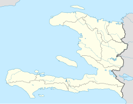 Chardonnières | |
Chardonnières, in creolo haitiano Chadonyè, è un comune di Haiti, capoluogo dell'arrondissement omonimo nel dipartimento del Sud.
Note
[modifica | modifica wikitesto]- ^ (FR) Population totale, population de 18 ans et plus menages et densites estimes en 2009 (PDF), su ihsi.ht, IHSI. URL consultato l'8-3-2012.
Text is available under the CC BY-SA 4.0 license; additional terms may apply.
Images, videos and audio are available under their respective licenses.
Cover photo is available under {{::mainImage.info.license.name || 'Unknown'}} license.
Cover photo is available under {{::mainImage.info.license.name || 'Unknown'}} license.
Credit:
(see original file).
