Sarvaš
| Sarvaš | |

| |
| Administration | |
|---|---|
| Pays | |
| Comitat | |
| Code postal | 31000 |
| Indicatif téléphonique international | +(385) |
| Indicatif téléphonique local | (0) 31 |
| Démographie | |
| Population | 1 658 hab. (2021) |
| Densité | 85 hab./km2 |
| Population | 1 658 hab. (2021) |
| Géographie | |
| Coordonnées | 45° 31′ 37″ nord, 18° 50′ 17″ est |
| Superficie | 1 940 ha = 19,4 km2 |
| Localisation | |
| modifier |
|
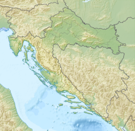
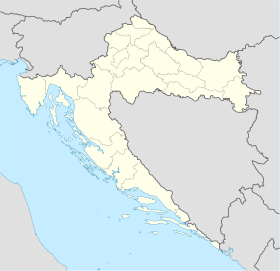
Sarvaš (en allemand : Sarwasch-Hirschfeld, en hongrois : Drávaszarvas) est une localité de Croatie située dans la municipalité de Osijek, dans le comitat d'Osijek-Baranja, en Slavonie orientale. Au recensement de 2021, elle comptait 1 658 habitants. Elle se trouve administrativement dans la zone de la ville d'Osijek. Sarvaš signifie « cerf » en hongrois.
Histoire
[modifier | modifier le code]Un site archéologique scordique à Sarvaš datant de la fin de la culture de La Tène a été excavé dans les années 1970 et 1980 dans le cadre de fouilles de sauvetage dans l'est de la Croatie[1]. Le site archéologique fait partie du réseau d'établissements scordiques de la région de Vinkovci[1].
Selon le recensement de 1931 du royaume de Yougoslavie, la ville comptait 1 157 Souabes du Danube (la majorité). Ces personnes ont presque toutes été expulsées par le régime communiste de Josip Broz Tito après 1945[2].
L'église catholique locale a été complètement détruite pendant la guerre d'indépendance[2]. En 2006, l'église est restaurée.
Notes et références
[modifier | modifier le code]- (en) Cet article est partiellement ou en totalité issu de l’article de Wikipédia en anglais intitulé « Sarvaš » (voir la liste des auteurs).
- Marko Dizdar, « Late La Tène Settlements in the Vinkovci Region (Eastern Slavonia, Croatia): Centres of Trade and Exchange. », Austrian Academy of Sciences Press, , p. 31–48 (lire en ligne, consulté le )
- Sakralna baština Podunavskih Švaba u Hrvatskoj
Text is available under the CC BY-SA 4.0 license; additional terms may apply.
Images, videos and audio are available under their respective licenses.


