Petworth (Royaume-Uni)
| Petworth | |||
 Lombard Street, en allant vers l'église Sainte-Marie. | |||
| Administration | |||
|---|---|---|---|
| Pays | |||
| Nation | |||
| Comté | Sussex de l'Ouest | ||
| District | District de Chichester | ||
| Force de police | Sussex | ||
| Incendie | West Sussex | ||
| Ambulance | South East Coast | ||
| Code postal | GU28 | ||
| Indicatif | 01798 | ||
| Démographie | |||
| Population | 3 027 hab. (2011) | ||
| Densité | 113 hab./km2 | ||
| Géographie | |||
| Coordonnées | 50° 59′ 10″ nord, 0° 36′ 32″ ouest | ||
| Superficie | 2 690 ha = 26,9 km2 | ||
| Localisation | |||
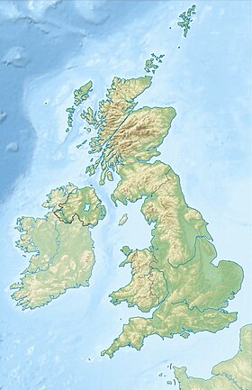
| Géolocalisation sur la carte : Royaume-Uni
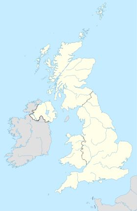
Géolocalisation sur la carte : Royaume-Uni
| |||
| modifier |
|||
Petworth est une petite ville et une paroisse civile située dans le district de Chichester, au sud de l'Angleterre.
Lors du recensement de 2011, sa population était de 3 027 habitants[1].
Histoire
[modifier | modifier le code]Petworth a été victime d'un bombardement au cours de la Seconde Guerre mondiale, le . Un avion allemand, un Heinkel 111, venant du sud, au-dessus de Hoes Farm, a largué trois bombes sur Petworth House. Les bombes ont raté la maison, mais l'une d'elles a rebondi sur un arbre et a atterri sur l'école de North Street, tuant 28 garçons, le directeur Charles Stevenson et l'assistante enseignante Charlotte Marshall[2],[3].
Enseignement
[modifier | modifier le code]L'école primaire, au sud de la ville, est le seul établissement scolaire. Les enfants y sont admis à partir de six ans. Le collège de Midhurst (Midhurst Rother College) assure la suite de la scolarité.
Jumelages
[modifier | modifier le code]![]() San Quirico d'Orcia (Toscane) (Italie).
San Quirico d'Orcia (Toscane) (Italie).
Petworth dans l'Art
[modifier | modifier le code]-
Le Lac, Petworth, Coucher De Soleil - William Turner - Tate Britain
Liens externes
[modifier | modifier le code]Références
[modifier | modifier le code]- (en) « Petworth (Parish): Key Figures for 2011 Census » [archive du ], Neighbourhood Statistics, Office for National Statistics (consulté le )
- (en) « BBC - WW2 People's War - Bombing of the Boys School » [archive du ], BBC (consulté le )
- (en) « Image of the mass grave » [archive du ] (consulté le )
- (en) Cet article est partiellement ou en totalité issu de l’article de Wikipédia en anglais intitulé « Petworth » (voir la liste des auteurs).
Text is available under the CC BY-SA 4.0 license; additional terms may apply.
Images, videos and audio are available under their respective licenses.


