Fichier:LocationPolarRegions.png
Taille de cet aperçu : 800 × 407 pixels. Autres résolutions : 320 × 163 pixels | 640 × 326 pixels | 1 024 × 521 pixels | 1 280 × 651 pixels | 2 759 × 1 404 pixels.
Fichier d’origine (2 759 × 1 404 pixels, taille du fichier : 92 kio, type MIME : image/png)
Ce fichier et sa description proviennent de Wikimedia Commons.

|
Cette image (de type locator map) devrait être recréée dans un format vectoriel, en tant que fichier SVG. Cela offrirait plusieurs avantages : voir Commons:Media for cleanup pour plus d'informations. Si une version SVG de cette image est déjà disponible, merci de bien vouloir l'envoyer. Après cela, remplacez ce modèle par ((vector version available|nouveau nom d'image.svg)).
|
Description
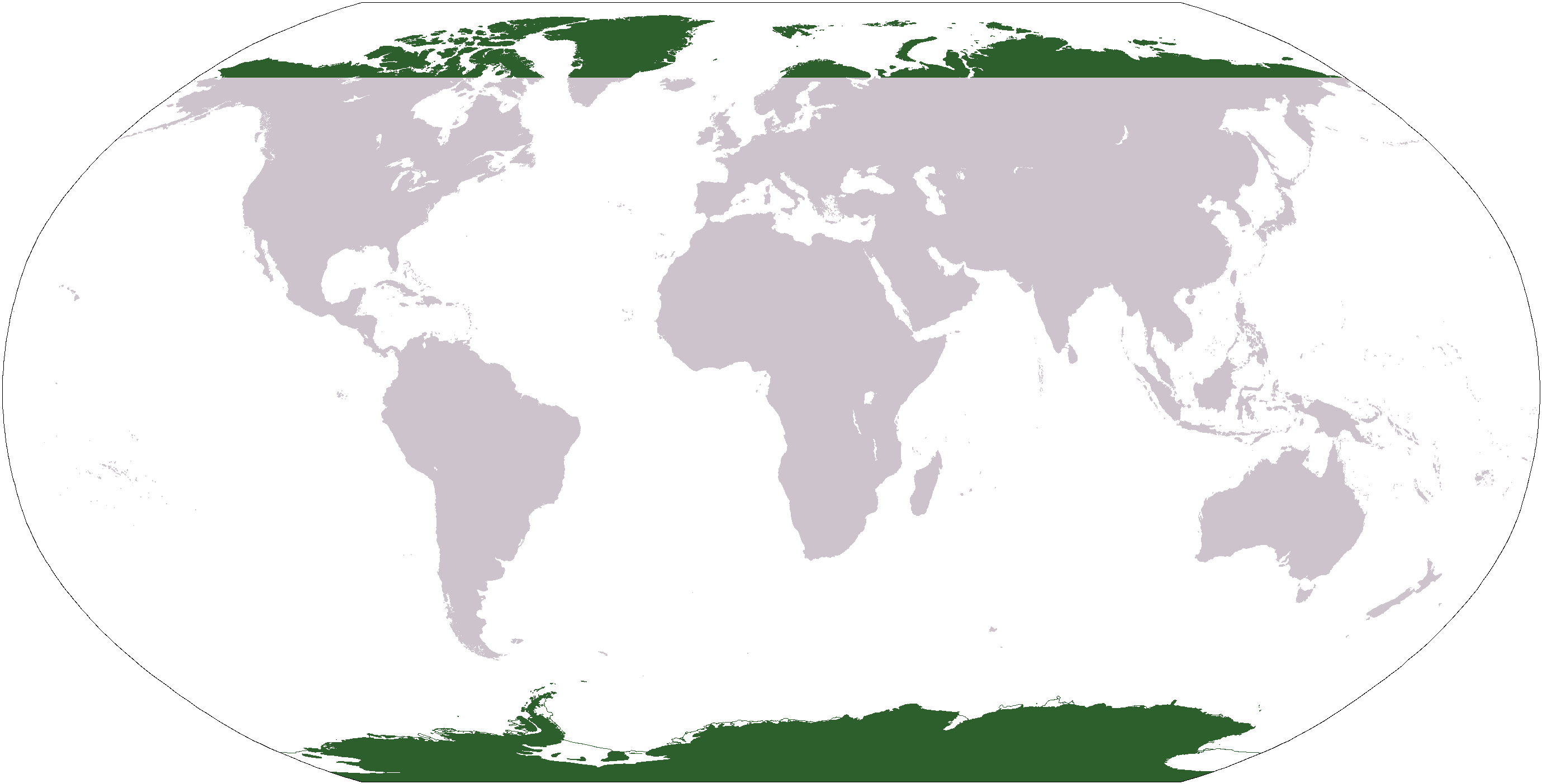
Map indicating the world's polar regions (i.e. Antarctica and area within Arctic Circle), based on Image:LocationAntarctica.png.
Conditions d’utilisation
Cette image est dans le domaine public parce que son contenu provient du World Factbook, édité par la Central Intelligence Agency des États-Unis d’Amérique.
|
 |
Historique du fichier
Cliquer sur une date et heure pour voir le fichier tel qu'il était à ce moment-là.
| Date et heure | Vignette | Dimensions | Utilisateur | Commentaire | |
|---|---|---|---|---|---|
| actuel | 29 janvier 2016 à 00:19 | | 2 759 × 1 404 (92 kio) | Foghe | Isle ? (green --> gray) |
| 31 mars 2006 à 06:31 |  | 2 759 × 1 404 (51 kio) | E Pluribus Anthony~commonswiki | Map indicating the world's polar regions (i.e. Antarctica and area within Arctic Circle), derived on Image:LocationAntarctica.png | |
| 31 mars 2006 à 05:42 |  | 2 759 × 1 404 (55 kio) | David Kernow~commonswiki | Map indicating the world's polar regions (i.e. Antarctica and area within Arctic Circle), derived on Image:LocationAntarctica.png. |
Utilisation du fichier
Les 64 pages suivantes utilisent ce fichier :
- Afrique
- Afrique australe
- Afrique centrale
- Afrique de l'Est
- Afrique de l'Ouest
- Afrique des Grands Lacs
- Afrique du Nord
- Afrique subsaharienne
- Afrique tropicale
- Afrique équatoriale
- Amérique
- Amérique anglo-saxonne
- Amérique centrale
- Amérique du Nord
- Amérique du Sud
- Amérique latine
- Amérique septentrionale
- Antilles
- Arctique
- Asie
- Asie-Pacifique
- Asie centrale
- Asie de l'Est
- Asie de l'Ouest
- Asie du Nord
- Asie du Nord-Est
- Asie du Sud
- Asie du Sud-Est
- Australasie
- Caraïbes
- Caucase
- Cône Sud
- Europe
- Europe de l'Ouest
- Extrême-Orient
- Géographie de l'Asie
- Géopolitique de l'Europe au XXIe siècle
- Géopolitique du Moyen-Orient au XXIe siècle
- Haute-Asie
- Liste des mers et océans
- Liste des États du monde par continent
- Listes de pays
- Machrek
- Micronésie (région)
- Monde (univers)
- Moyen-Orient
- Mélanésie
- Océan
- Océan Arctique
- Océan Atlantique
- Océan Austral
- Océan Indien
- Océan Pacifique
- Polynésie
- Proche-Orient
- Péninsule Ibérique
- Région
- Régions polaires
- Scandinavie
- Sous-continent indien
- Modèle:Palette Régions du monde
- Projet:Asie/Outils
- Projet:Subdivision territoriale
- Projet:Subdivision territoriale/Liste
Usage global du fichier
Les autres wikis suivants utilisent ce fichier :
- Utilisation sur af.wikipedia.org
- Australasië
- Midde-Ooste
- Sentraal-Amerika
- Atlantiese Oseaan
- Suider-Afrika
- Indiese Oseaan
- Suidelike Oseaan
- Arktiese Oseaan
- Stille Oseaan
- Latyns-Amerika
- Oos-Asië
- Sjabloon:Gebiede van die wêreld
- Noord-Europa
- Melanesië
- Mikronesië
- Polinesië
- Oos-Afrika
- Wes-Afrika
- Noord-Afrika
- Oos-Europa
- Verre Ooste
- Sentraal-Afrika
- Afrika suid van die Sahara
- Seelandië
- Noordpoolgebied
- Karibiese gebied
- Indiese subkontinent
- Suidoos-Asië
- Wes-Asië
- Wes-Europa
- Suid-Europa
- Suid-Asië
- Sentraal-Asië
- Sentraal-Europa
- Suidoos-Europa
- Noord-Asië
- Utilisation sur ar.wikipedia.org
Voir davantage sur l’utilisation globale de ce fichier.
Métadonnées
Text is available under the CC BY-SA 4.0 license; additional terms may apply.
Images, videos and audio are available under their respective licenses.
Cover photo is available under {{::mainImage.info.license.name || 'Unknown'}} license.
Cover photo is available under {{::mainImage.info.license.name || 'Unknown'}} license.
Credit:
(see original file).
