Fichier:Japan prov map Kushiro..GIF
Taille de cet aperçu : 800 × 473 pixels. Autres résolutions : 320 × 189 pixels | 640 × 378 pixels | 1 024 × 605 pixels | 1 353 × 800 pixels.
Fichier d’origine (1 353 × 800 pixels, taille du fichier : 28 kio, type MIME : image/gif)
Ce fichier et sa description proviennent de Wikimedia Commons.
Description
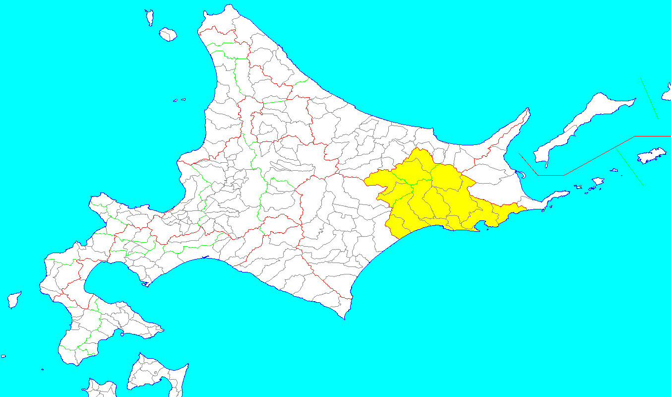
| Description |
English: area of Kushiro provinces of Hokkaido in Japan(1869/08/15)
日本語: 釧路国の範囲(1869/08/15) |
| Date | |
| Source | Hokkaido 16c.png |
| Auteur | Okia |
Conditions d’utilisation
Moi, en tant que détenteur des droits d’auteur sur cette œuvre, je la publie sous les licences suivantes :

|
Vous avez la permission de copier, distribuer et modifier ce document selon les termes de la GNU Free Documentation License version 1.2 ou toute version ultérieure publiée par la Free Software Foundation, sans sections inaltérables, sans texte de première page de couverture et sans texte de dernière page de couverture. Un exemplaire de la licence est inclus dans la section intitulée GNU Free Documentation License. |
Ce fichier est sous licence Creative Commons Attribution – Partage dans les Mêmes Conditions 3.0 (non transposée), 2.5 Générique, 2.0 Générique et 1.0 Générique.
- Vous êtes libre :
- de partager – de copier, distribuer et transmettre cette œuvre
- d’adapter – de modifier cette œuvre
- Sous les conditions suivantes :
- paternité – Vous devez donner les informations appropriées concernant l'auteur, fournir un lien vers la licence et indiquer si des modifications ont été faites. Vous pouvez faire cela par tout moyen raisonnable, mais en aucune façon suggérant que l’auteur vous soutient ou approuve l’utilisation que vous en faites.
- partage à l’identique – Si vous modifiez, transformez, ou vous basez sur cette œuvre, vous devez distribuer votre contribution sous la même licence ou une licence compatible avec celle de l’original.
Vous pouvez choisir l’une de ces licences.
Historique du fichier
Cliquer sur une date et heure pour voir le fichier tel qu'il était à ce moment-là.
| Date et heure | Vignette | Dimensions | Utilisateur | Commentaire | |
|---|---|---|---|---|---|
| actuel | 20 septembre 2010 à 04:45 | | 1 353 × 800 (28 kio) | Okia | 天塩と石狩の境界修正(Ancient_Japan_provinces_map_japanese.gifとは一致しない) |
| 15 septembre 2010 à 15:59 |  | 1 353 × 800 (27 kio) | Okia | 網尻郡の色分けを無くし、境界線の修正 | |
| 25 août 2010 à 16:16 |  | 1 353 × 800 (27 kio) | Okia | ((Information |Description=((en|1=area of Kushiro provinces of Hokkaido in Japan(1869/08/15))) ((ja|1=釧路国の範囲(1869/08/15) 網尻郡は色を変えて表示)) |Source=Hokkaido 16c.png |Author=Okia |Date=2010/08/25 |Permission= |other_versions= |
Utilisation du fichier
La page suivante utilise ce fichier :
Usage global du fichier
Les autres wikis suivants utilisent ce fichier :
- Utilisation sur de.wikipedia.org
- Utilisation sur en.wikipedia.org
- Utilisation sur fa.wikipedia.org
- Utilisation sur id.wikipedia.org
- Utilisation sur ja.wikipedia.org
- Utilisation sur lt.wikipedia.org
- Utilisation sur nl.wikipedia.org
- Utilisation sur simple.wikipedia.org
- Utilisation sur tr.wikipedia.org
- Utilisation sur uk.wikipedia.org
- Utilisation sur www.wikidata.org
- Utilisation sur zh.wikipedia.org
Text is available under the CC BY-SA 4.0 license; additional terms may apply.
Images, videos and audio are available under their respective licenses.
Cover photo is available under {{::mainImage.info.license.name || 'Unknown'}} license.
Cover photo is available under {{::mainImage.info.license.name || 'Unknown'}} license.
Credit:
(see original file).
