District d'Algoma
| Pays | |
|---|---|
| Province | |
| Chef-lieu | |
| Superficie |
48 734,66 km2 |
| Coordonnées |
| Population |
114 094 hab. () |
|---|---|
| Densité |
2,3 hab./km2 () |
| Statut |
District (d) |
|---|
| Fondation |
|---|
| CGT |
3557 |
|---|---|
| Indicatif téléphonique |
705 |
| Site web |
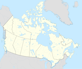
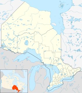
Le district d’Algoma est un district et une division de recensement dans le Nord-est de l'Ontario dans la province de l'Ontario.
Subdivisions
[modifier | modifier le code]Villes (Cities)
[modifier | modifier le code]Villes (Towns)
[modifier | modifier le code]- Blind River
- Bruce Mines
- Spanish
- Thessalon
Townships
[modifier | modifier le code]- Dubreuilville
- Hilton
- Hornepayne
- Huron Shores (Iron Bridge, Sowerby, Little Rapids)
- Jocelyn (Kentvale)
- Johnson (Desbarats)
- Laird
- Macdonald, Meredith and Aberdeen Additional (Echo Bay, Bar River, Sylvan Valley)
- Michipicoten (Wawa, Michipicoten River)
- North Shore (Spragge, Serpent River, Algoma Mills)
- Plummer Additional
- Prince
- St. Joseph (Richard's Landing)
- Tarbutt and Tarbutt Additional
- White River
Village
[modifier | modifier le code]- Hilton Beach
Réserves
[modifier | modifier le code]- Garden River
- Goulais Bay
- Gros Cap
- Missanabie
- Mississagi River
- Rankin Location
- Sagamok
- Serpent River
- Thessalon
Territoires non organisés
[modifier | modifier le code]- Algoma nord (incl. Aweres, Batchawana Bay, Goulais and District, Hawk Junction, Missanabie, Peace Tree, Searchmont et Wharncliffe and Kynoch)
- Algoma sud-est
Notes et références
[modifier | modifier le code]Annexes
[modifier | modifier le code]Articles connexes
[modifier | modifier le code]Liens externes
[modifier | modifier le code]- Ressources relatives à la géographie :
Text is available under the CC BY-SA 4.0 license; additional terms may apply.
Images, videos and audio are available under their respective licenses.


