Cap York (Australie)
| Cap York | ||||
 Panneau touristique (en) au niveau du cap York. | ||||
| Localisation | ||||
|---|---|---|---|---|
| Pays | ||||
| État | Queensland | |||
| Coordonnées | 10° 41′ 14″ sud, 142° 31′ 54″ est | |||
| Étendue d'eau | Détroit de Torrès (mer de Corail, océan Pacifique) | |||
| Géolocalisation sur la carte : Australie
Géolocalisation sur la carte : Queensland
Géolocalisation sur la carte : Grande Barrière de corail
| ||||
| modifier |
||||
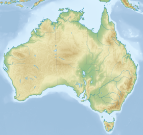
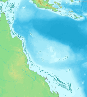
Le cap York (Cape York en anglais) est un cap situé à l'extrémité nord de l'État du Queensland, dans le nord-est de l'Australie. Il est tout au bout de la péninsule du cap York, qui par ailleurs porte son nom. Il est baigné par le détroit de Torrès (dans la mer de Corail), où il fait face au nord aux Inner Islands (de) et aux autres îles du détroit de Torrès, dont l'administration est répartie entre le Queensland et la province de l'Ouest (en Papouasie-Nouvelle-Guinée)[1],[2],[3].
Il s'agit du point géographique le plus au nord de l'Australie continentale. Au niveau administratif, le cap est dans la localité (en) de Somerset (en), dans le comté de Torrès (en), dans la région de l'Extrême nord du Queensland. Il a été nommé par le navigateur James Cook lors de son premier voyage d'exploration en 1770, en l'honneur d'Édouard-Auguste de Grande-Bretagne, duc d'York et d'Albany[1],[2],[3].
Articles connexes
[modifier | modifier le code]Références
[modifier | modifier le code]- (en) Anonyme, « Cape York », sur Encyclopædia Britannica, date non précisée (consulté le ).
- (en) Shelley Greer, « Portals in a watery realm: cultural landscapes in northern Cape York », Historic Environment, vol. 22, no 1, , p. 38-43 (ISSN 0726-6715, lire en ligne [PDF], consulté le ).
- (en) Shelley Greer et Maureen Fuary, « Community Consultation and Collaborative Research in Northern Cape York Peninsula – a retrospective », Archaeological Heritage, vol. 1, no 1, , p. 5-15 (lire en ligne [PDF], consulté le ).
Text is available under the CC BY-SA 4.0 license; additional terms may apply.
Images, videos and audio are available under their respective licenses.


