Abomey-Calavi (arrondissement)
| Abomey-Calavi | ||
 Arrondissement d'Abomey-Calavi | ||
| Administration | ||
|---|---|---|
| Pays | ||
| Démographie | ||
| Population | 117 824 hab.[1] (2013) | |
| Géographie | ||
| Coordonnées | 6° 26′ 49″ nord, 2° 21′ 10″ est | |
| Localisation | ||
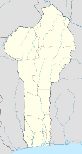
| Géolocalisation sur la carte : Bénin
| ||
| modifier |
||
Abomey-Calavi encore appelé Calavi, est un arrondissement de la commune d'Abomey-Calavi localisé dans le département de l'Atlantique dans le Sud du Bénin[2],[3],[4].443 est son code postal.
Histoire et Toponymie
[modifier | modifier le code]Histoire
[modifier | modifier le code]Abomey-Calavi devient officiellement un arrondissement de la commune du même nom, le après la délibération et adoption par l'Assemblée nationale du Bénin en sa séance du de la loi n° 2013-O5 du portant création, organisation, attributions et fonctionnement des unités administratives locales en République du Bénin[5].
Géographie
[modifier | modifier le code]Administration
[modifier | modifier le code]L'arrondissement d'Abomey-Calavi fait partie des 9 que compte la commune d'Abomey-Calavi. Il est composé de 06 villages et quartiers de ville que sont: Agori, Kansoukpa, Agamadin, Gbodjo, Seme, Tokpa-Zoungo(Agbonou)[6].
Population
[modifier | modifier le code]Selon le Recensement Général de la Population et de l'Habitation(RGPH4) de l'Institut National de la Statistique et de l'Analyse Economique(INSAE) au Bénin en 2013, la population de Calavi compte 27 862 ménages avec 117 824 habitants
| Indicateur | 2013[7] |
|---|---|
| Nombre de ménages | 27862 |
| Population féminine | 58010 |
| Population masculine | 59814 |
| Population totale | 117824 |
Galerie de photos
[modifier | modifier le code]-
La Poste de Calavi Kpota au Bénin
-
Vue paranomique de la commune d'Abomey-Calavi
-
Embarcadère de Ganvié Abomey-Calavi -Bénin
-
Façade principale de l'Embarcadère d'Abomey-Calavi
Notes et références
[modifier | modifier le code]- [1] sur insae.bj
- « Monographie complète des communes des départements de l'Atlantique et du Littoral »(Archive.org • Wikiwix • Archive.is • Google • Que faire ?), sur decentralisation.gouv.bj, (consulté en ).
- (en) « Mairie d'Abomey-Calavi », sur mairie-abomey-calavi.bj via Wikiwix (consulté le ).
- « L'événement Précis – DÉCENTRALISATION AU BÉNIN: Voici l’intégralité des 5290 villages et quartiers créés par l’Assemblée » (consulté le ).
- « Loi N° 2013-05 du 27 mai 2013 portant création, organisation, attributions et fonctionnement des unités administratives locales en République du Bénin », sur fao.org (consulté le ).
- « Statistiques Démographiques », sur insae.bj (consulté le ).
- « RGPH_Cahier des villages et quartiers de ville - Benin Data Portal », sur benin.opendataforafrica.org (consulté le ).
Text is available under the CC BY-SA 4.0 license; additional terms may apply.
Images, videos and audio are available under their respective licenses.


