کوه کرس
| کوه کرس | |
|---|---|
 | |
 | |
 کوه کرس موقعیت کوه کرس در نقشه  کوه کرس کوه کرس (جمهوری آذربایجان) | |
| مرتفعترین نقطه | |
| ارتفاع | ۲٬۷۲۵ متر (۸٬۹۴۰ فوت) |
| مختصات | ۳۹°۳۸′۵۱″ شمالی ۴۶°۴۴′۴۵″ شرقی / ۳۹٫۶۴۷۵۰°شمالی ۴۶٫۷۴۵۸۳°شرقی |
| جغرافیا | |
| کشور | |
کوه کرس یا کیرس بزرگ (به ارمنی: Մեծ Քիրս Լեռ؛ به آذربایجانی: Böyük Kirs Dağı، ) یک کوه در قره باغ است. کوه کرس ۲٬۷۲۵ متر بالاتر از سطح دریا واقع شدهاست.
نگارخانه
[ویرایش]-
 نمایی از کوه کرس آنگونه که از استان شوشی در فصل زمستان دیده میشود.
 -
 کوه کرس آنگونه که از شهر شوشی دیده میشود.
 -
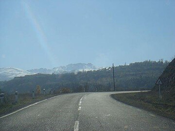 نمایی از کوه کرس از جاده


منابع
[ویرایش]- مشارکتکنندگان ویکیپدیا. «Mount Kirs». در دانشنامهٔ ویکیپدیای انگلیسی.
پیوند به بیرون
[ویرایش]در ویکیانبار پروندههایی دربارهٔ کوه کرس موجود است.
Text is available under the CC BY-SA 4.0 license; additional terms may apply.
Images, videos and audio are available under their respective licenses.
Cover photo is available under {{::mainImage.info.license.name || 'Unknown'}} license.
Cover photo is available under {{::mainImage.info.license.name || 'Unknown'}} license.
Credit:
(see original file).
