پرونده:Relief Map of Poland.png
اندازهٔ این پیشنمایش: ۶۱۷ × ۶۰۰ پیکسل. کیفیتهای دیگر: ۲۴۷ × ۲۴۰ پیکسل | ۴۹۴ × ۴۸۰ پیکسل | ۱٬۰۰۰ × ۹۷۲ پیکسل.
پروندهٔ اصلی (۱٬۰۰۰ × ۹۷۲ پیکسل، اندازهٔ پرونده: ۱٫۴۶ مگابایت، نوع MIME پرونده: image/png)
این پرونده در ویکیانبار موجود است. محتویات صفحهٔ توصیف آن در زیر نمایش داده میشود. |
خلاصه
| توضیح |
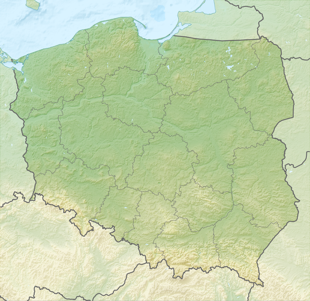
English: Relief map of Poland
Equirectangular projection, N/S stretching 160 %. Geographic limits of the map:
|
| تاریخ | |
| منبع |
|
| پدیدآور | derivative work Виктор_В |
| دیگر نسخهها |
|


اجازهنامه
این پرونده با اجازهنامهٔ کریتیو کامانز Attribution-Share Alike 3.0 سازگار نشده منتشر شده است.
- شما اجازه دارید:
- برای به اشتراک گذاشتن – برای کپی، توزیع و انتقال اثر
- تلفیق کردن – برای انطباق اثر
- تحت شرایط زیر:
- انتساب – شما باید اعتبار مربوطه را به دست آورید، پیوندی به مجوز ارائه دهید و نشان دهید که آیا تغییرات ایجاد شدهاند یا خیر. شما ممکن است این کار را به هر روش منطقی انجام دهید، اما نه به هر شیوهای که پیشنهاد میکند که مجوزدهنده از شما یا استفادهتان حمایت کند.
- انتشار مشابه – اگر این اثر را تلفیق یا تبدیل میکنید، یا بر پایه آن اثری دیگر خلق میکنید، میبایست مشارکتهای خود را تحت مجوز یکسان یا مشابه با ا اصل آن توزیع کنید.
تاریخچهٔ پرونده
روی تاریخ/زمانها کلیک کنید تا نسخهٔ مربوط به آن هنگام را ببینید.
| تاریخ/زمان | بندانگشتی | ابعاد | کاربر | توضیح | |
|---|---|---|---|---|---|
| کنونی | ۲۸ اوت ۲۰۱۰، ساعت ۱۸:۰۲ | | ۱٬۰۰۰ در ۹۷۲ (۱٫۴۶ مگابایت) | Виктор В | рельеф дна |
| ۲۸ اوت ۲۰۱۰، ساعت ۱۲:۰۸ |  | ۱٬۰۰۰ در ۹۷۲ (۱٫۴۳ مگابایت) | Виктор В | == ((int:filedesc)) == ((Information |Description=((en|Relief map of Poland)) Equirectangular projection, N/S stretching 160 %. Geographic limits of the map: * N: 55.2° N * S: 48.7° N * W: 13.8° E * E: 24.5° E |Source=*[[:File:Poland lo |
کاربرد پرونده
صفحههای زیر از این تصویر استفاده میکنند:
- اردوگاه مرگ بلزک
- اردوگاه مرگ خلمنو
- اردوگاه مرگ سوبیبور
- اردوگاه کار اجباری سولدائو
- اردوگاه کار اجباری کراکوف-پلاشوف
- اردوگاه کار اجباری گروسروزن
- استوچک ویلکی
- اویتسوف ناتیونال پارک
- بابیا گورا
- بارانیا گورا
- بزورا
- بیاویستوک
- تارنیسا
- ترزی کورنی
- جنگل کنشن
- دانشگاه یاگیلونیا
- دایلوسکا گورا
- رود بردا
- روزتوچه ناتیونال پارک
- ریسی (کوه)
- زاموشچ (منطقه تاریخی)
- ستووووه موونتاینس ناتیونال پارک
- سد سولینا
- سوواوکی لاندستساپه پارک
- شهر قرون وسطایی ترونی
- شوینتوکژسکی ناتیونال پارک
- معدن نقره تاریخی در تارنووسکیه گوره
- معدن نمک بوخنیا
- معدن نمک ویلیچکا
- نارف ناتیونال پارک
- پارک جنگلی کنیسین
- پارک ملی بیبژا
- پارک ملی بیلاویژسکایا پوشا
- پارک ملی ویگرسکی
- پارک ملی پینی
- پارک کالاریا زبژدوسکا
- چانتوریا ویلکا
- چنتستوخووا
- کاتوویتسه
- کارکونوشه ناتیونال پارک
- کالنیکا
- کرژمیونی
- کسپرووی ویرچ
- کلیساهای چوبی جنوب لهستان کوچک
- کوه توکارنیا
- کوه جاور
- کیلتسه
- گتو لوبارتوف
- گدانسک
- گدنیا
- گوباسویکا
- گویونت
- الگو:Infobox concentration camp/توضیحات
- الگو:Location map Poland
- الگو:Location map Poland/توضیحات
- الگو:جعبه اطلاعات رویداد هولوکاست
- الگو:جعبه اطلاعات رویداد هولوکاست/توضیحات
کاربرد سراسری پرونده
ویکیهای دیگر زیر از این پرونده استفاده میکنند:
- کاربرد در ar.wikipedia.org
- کاربرد در as.wikipedia.org
- کاربرد در av.wikipedia.org
- کاربرد در be-tarask.wikipedia.org
- کاربرد در be.wikipedia.org
- Буг
- Нараў
- Шаблон:На карце/Польшча
- Вісла
- Чорная Ганча
- Марыха
- Вепш
- Бебжа
- Ганьча (возера)
- Шлямы
- Белавежскі нацыянальны парк
- Мамры
- Снярдвы
- Свентакшыскія горы
- Снежка
- Піліца
- Віслока
- Рысы
- Рэга
- Варта
- Тарніца
- Нотаць
- Пэлхаўка
- Палескі нацыянальны парк
- Дзіўна
- Волін (востраў)
- Вігерскі нацыянальны парк
- Вігры
- Свіна (Польшча)
- Сабяшэўскі востраў
- Блэндоўская пустыня
- Велка-Снежна пячора
- Марское Вока
- Лыса-Гура (Свентакшыскія горы)
- Ніда (рака)
- Язёрак
- Бебжанскі нацыянальны парк
- Востраў збожжасховішчаў
نمایش استفادههای سراسری از این پرونده.
فراداده
Text is available under the CC BY-SA 4.0 license; additional terms may apply.
Images, videos and audio are available under their respective licenses.
Cover photo is available under {{::mainImage.info.license.name || 'Unknown'}} license.
Cover photo is available under {{::mainImage.info.license.name || 'Unknown'}} license.
Credit:
(see original file).
