پرونده:Europe satellite image location map Britain To Turkey.jpg
اندازهٔ این پیشنمایش: ۷۷۳ × ۶۰۰ پیکسل. کیفیتهای دیگر: ۳۰۹ × ۲۴۰ پیکسل | ۶۱۹ × ۴۸۰ پیکسل | ۹۹۰ × ۷۶۸ پیکسل | ۱٬۲۸۰ × ۹۹۳ پیکسل | ۲٬۵۶۰ × ۱٬۹۸۶ پیکسل | ۳٬۸۰۷ × ۲٬۹۵۴ پیکسل.
پروندهٔ اصلی (۳٬۸۰۷ × ۲٬۹۵۴ پیکسل، اندازهٔ پرونده: ۱٫۸ مگابایت، نوع MIME پرونده: image/jpeg)
این پرونده در ویکیانبار موجود است. محتویات صفحهٔ توصیف آن در زیر نمایش داده میشود. |
| توضیح |
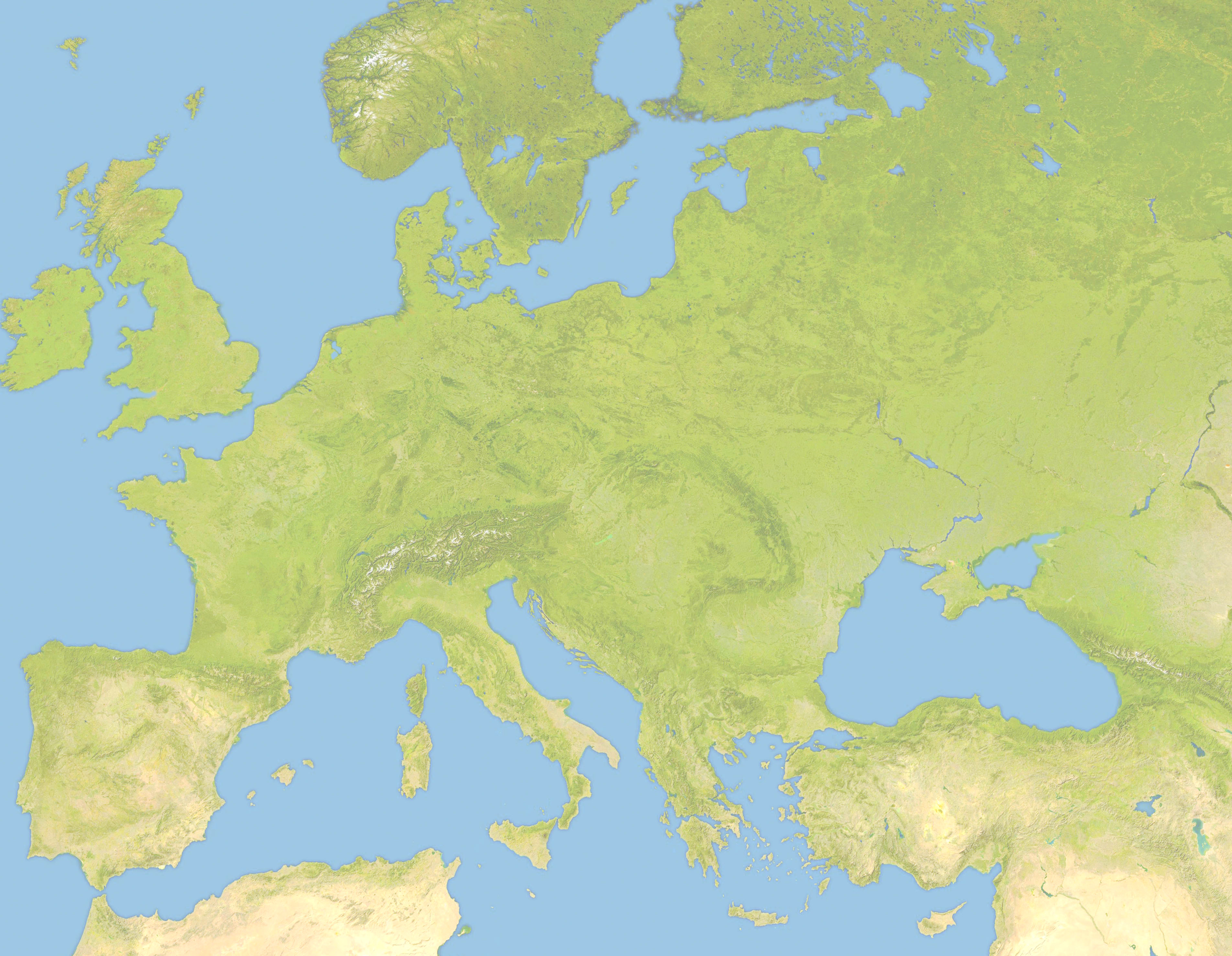
Deutsch: Positionskarte von Europa, Satellitenbild Quadratische Plattkarte, N-S-Streckung 150 %. Geographische Begrenzung der Karte: *N: 63.5° N * S: 34° N * W: -10.25° W * E: 46.8° E English: Location map of Europe, satellite image Equirectangular projection, N/S stretching 150 %. Geographic limits of the map: * N: 63.5° N * S: 34° N * W: -10.25° W * E: 46.8° E |
| تاریخ | (UTC) |
| منبع | |
| پدیدآور |
|
| این یک عکس دستکاری شده است به این معنی که به صورت دیجیتالی از نسخهٔ اصلی تغییر یافتهاست. تغییرها: Lighter and Geographic limits of the map: * N: 63.5° N * S: 34° N * W: -10.25° W * E: 46.8° E. اصل آن را میتوان در اینجا مشاهده کرد: Europe satellite image location map.jpg. تغییرها توسط Victuallers انجام شدهاست.
|
من، صاحب حقوق قانونی این اثر، به این وسیله این اثر را تحث اجازهنامهٔ ذیل منتشر میکنم:
| من، دارنده حق تکثیر این اثر، این اثر را به مالکیت عمومی منتشر میکنم. این قابل اجرا در تمام نقاط جهان است. در برخی از کشورها ممکن است به صورت قانونی این امکانپذیر نباشد؛ اگر چنین است: من اجازهٔ استفاده از این اثر را برای هر مقصودی، بدون هیچگونه شرایطی میدهم، تا وقتی که این شرایط توسط قانون مستلزم نشده باشد. |
سیاهه بارگذاری اصلی
This image is a derivative work of the following images:
- File:Europe_satellite_image_location_map.jpg licensed with PD-self
- 2008-09-28T12:40:05Z NordNordWest 5668x3800 (1915310 Bytes) ((Information |Description= ((de|Positionskarte von [[:de:Europa|Europa]], Satellitenbild)) Quadratische Plattkarte, N-S-Streckung 150 %. Geographische Begrenzung der Karte: * N: 74° N * S: 34° N * W: 25° W * O: 60° O ((e
Uploaded with derivativeFX
تاریخچهٔ پرونده
روی تاریخ/زمانها کلیک کنید تا نسخهٔ مربوط به آن هنگام را ببینید.
| تاریخ/زمان | بندانگشتی | ابعاد | کاربر | توضیح | |
|---|---|---|---|---|---|
| کنونی | ۲۲ ژوئن ۲۰۱۰، ساعت ۱۹:۵۷ | | ۳٬۸۰۷ در ۲٬۹۵۴ (۱٫۸ مگابایت) | Victuallers | ((Information |Description=((de|Positionskarte von Europa, Satellitenbild)) Quadratische Plattkarte, N-S-Streckung 150 %. Geographische Begrenzung der Karte: * N: 72° N * S: 34° N * W: 25° W * O: 60° O ((en|Location map of [[:en:Europe| |
کاربرد پرونده
صفحهٔ زیر از این تصویر استفاده میکند:
کاربرد سراسری پرونده
ویکیهای دیگر زیر از این پرونده استفاده میکنند:
- کاربرد در ar.wikipedia.org
- کاربرد در az.wikipedia.org
- کاربرد در ba.wikipedia.org
- کاربرد در be.wikipedia.org
- کاربرد در ceb.wikipedia.org
- کاربرد در ce.wikipedia.org
- کاربرد در cv.wikipedia.org
- کاربرد در da.wikipedia.org
- کاربرد در en.wikipedia.org
- Third Crusade
- Battle of Pydna (148 BC)
- Battle of Narbonne (436)
- Third Battle of Tapae
- Domitian's Dacian War
- Battle of Adamclisi
- Battle of Rozgony
- Battle of Ostrovo
- Battle of the Rhône Crossing
- Battle of Poznań (1704)
- Battle of Sarmizegetusa
- Siege of 's-Hertogenbosch (1601)
- History of the Expedition of the Emperor Frederick
- Siedlec Desert
- Battle of Roßbrunn
- Siege of Geertruidenberg (1351–1352)
- کاربرد در fr.wikipedia.org
- کاربرد در inh.wikipedia.org
- کاربرد در it.wikipedia.org
- کاربرد در ka.wikipedia.org
- کاربرد در kn.wikipedia.org
- کاربرد در ml.wikipedia.org
- کاربرد در pt.wikipedia.org
- کاربرد در ru.wikipedia.org
- کاربرد در sq.wikipedia.org
- کاربرد در tr.wikipedia.org
نمایش استفادههای سراسری از این پرونده.
فراداده
Text is available under the CC BY-SA 4.0 license; additional terms may apply.
Images, videos and audio are available under their respective licenses.
Cover photo is available under {{::mainImage.info.license.name || 'Unknown'}} license.
Cover photo is available under {{::mainImage.info.license.name || 'Unknown'}} license.
Credit:
(see original file).
