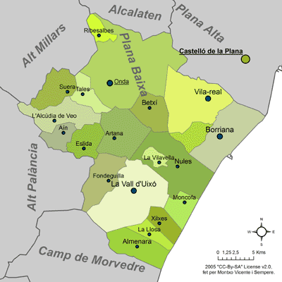
Fitxategi:Mapa de la Plana Baixa.png
Ez dago bereizmen handiagorik.
Mapa_de_la_Plana_Baixa.png ((400 × 400 pixel, fitxategiaren tamaina: 45 KB, MIME mota: image/png))
Fitxategi hau Wikimedia Commonsekoa da. Hango deskribapen orriko informazioa behean duzu. |
This image was copied from wikipedia:ca. The original description was:
This file is licensed under the Creative Commons Attribution-Share Alike 2.0 Generic license.
- Askea zara:
- partekatzeko – lana kopiatzeko, banatzeko eta bidaltzeko
- birnahasteko – lana moldatzeko
- Ondorengo baldintzen pean:
- eskuduntza – Egiletza behar bezala aitortu behar duzu, lizentzia ikusteko esteka gehitu, eta ea aldaketak egin diren aipatu. Era egokian egin behar duzu hori guztia, baina inola ere ez egileak zure lana edo zure erabilera babesten duela irudikatuz.
- berdin partekatu – Lan honetan oinarrituta edo aldatuta berria eraikitzen baduzu, emaitza lana hau bezalako lizentzia batekin argitaratu behar duzu.
Fet per Montxo Vicente i Sempere el 20 de maig de 2005.
| date/time | username | edit summary |
|---|---|---|
| 09:00 20 mai, 2005 | Martorell | (((cc-by-sa-2.0)) Fet per Montxo Vicente i Sempere el 20 de maig de 2005.) |
Fitxategiaren historia
Data/orduan klik egin fitxategiak orduan zuen itxura ikusteko.
| Data/Ordua | Iruditxoa | Neurriak | Erabiltzailea | Iruzkina | |
|---|---|---|---|---|---|
| oraingoa | 17:02, 14 urria 2005 | | 400 × 400 (45 KB) | Martorell | This image was copied from wikipedia:ca. The original description was: ((cc-by-sa-2.0)) Fet per Montxo Vicente i Sempere el 20 de maig de 2005. {| border="1" ! date/time || username || edit summary |---- | 09:00 20 mai, 2005 || Martorell || <nowiki>({ |
Irudira dakarten loturak
Hurrengo orrialdeek dute fitxategi honetarako lotura:
Fitxategiaren erabilera orokorra
Hurrengo beste wikiek fitxategi hau darabilte:
- ca.wikipedia.org proiektuan duen erabilera
- en.wikipedia.org proiektuan duen erabilera
- fr.wikipedia.org proiektuan duen erabilera
- gl.wikipedia.org proiektuan duen erabilera
- nl.wikipedia.org proiektuan duen erabilera
- pl.wikipedia.org proiektuan duen erabilera
- vi.wikipedia.org proiektuan duen erabilera
- www.wikidata.org proiektuan duen erabilera
Text is available under the CC BY-SA 4.0 license; additional terms may apply.
Images, videos and audio are available under their respective licenses.
Cover photo is available under {{::mainImage.info.license.name || 'Unknown'}} license.
Cover photo is available under {{::mainImage.info.license.name || 'Unknown'}} license.
Credit:
(see original file).
