Archivo:Stielers Handatlas 1891 62 NE.jpg
Tamaño de esta previsualización: 600 × 600 píxeles. Otras resoluciones: 240 × 240 píxeles · 480 × 480 píxeles · 768 × 768 píxeles · 1250 × 1250 píxeles.
Ver la imagen en su resolución original (1250 × 1250 píxeles; tamaño de archivo: 687 kB; tipo MIME: image/jpeg)
| Descripción |
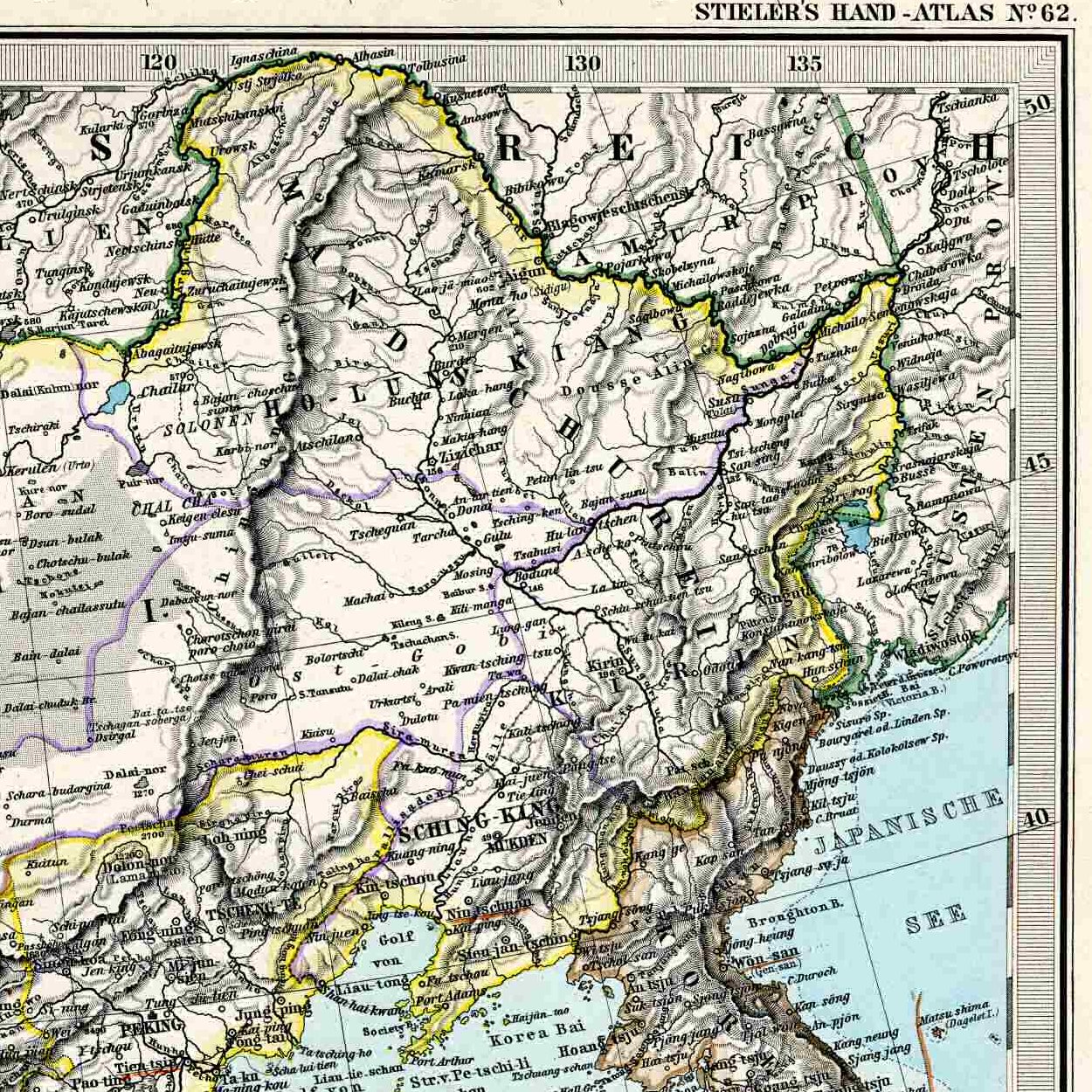
English: Northeastern corner of the 1892 map of China, for inclusion into articles about Manchuria. |
| Fecha | (UTC) |
| Fuente | |
| Autor |
|
| Otras versiones |
Entire map:  |
| Esta es una imagen retocada, lo que significa que ha sido alterada digitalmente de su versión original. Modificaciones: Northeastern corner. La original se puede ver aquí: Stielers Handatlas 1891 62.jpg. Las modificaciones las hizo Vmenkov.
|
|
Este material está en dominio público en los demás países donde el derecho de autor se extiende por 100 años (o menos) tras la muerte del autor. Esta obra está en el dominio público en los Estados Unidos porque fue publicada (o registrada con la Oficina del Derecho de Autor de los E.E. U.U.) antes del 1 de enero de 1929. | |
| Esta obra ha sido identificada como libre de las restricciones conocidas en virtud del derecho de autor, incluyendo todos los derechos conexos. | |
Registro original de carga
This image is a derivative work of the following images:
- File:Stielers_Handatlas_1891_62.jpg licensed with PD-old, Stielers Handatlas 1891
- 2006-11-21T17:44:31Z Poccil 3863x3188 (1572611 Bytes) ((Stielers Handatlas 1891|61|63|Chinesisches Reich|Chinese Empire)) [[Category:Old maps of China]]
Uploaded with derivativeFX
Historial del archivo
Haz clic sobre una fecha y hora para ver el archivo tal como apareció en ese momento.
| Fecha y hora | Miniatura | Dimensiones | Usuario | Comentario | |
|---|---|---|---|---|---|
| actual | 04:50 24 mar 2009 | | 1250 × 1250 (687 kB) | Vmenkov | ((Information |Description=((en|Northeastern corner of the 1892 map of China, for inclusion into articles about Manchuria.)) |Source=*File:Stielers_Handatlas_1891_62.jpg |Date=2009-03-24 04:47 (UTC) |Author=*File:Stielers_Handatlas_1891_62.jpg |
Usos del archivo
Las siguientes páginas usan este archivo:
Uso global del archivo
Las wikis siguientes utilizan este archivo:
- Uso en azb.wikipedia.org
- Uso en be.wikipedia.org
- Uso en bxr.wikipedia.org
- Uso en cs.wikipedia.org
- Uso en da.wikipedia.org
- Uso en en.wikipedia.org
- Uso en eo.wikipedia.org
- Uso en et.wikipedia.org
- Uso en hy.wikipedia.org
- Uso en it.wikipedia.org
- Uso en ko.wikipedia.org
- Uso en lv.wikipedia.org
- Uso en mk.wikipedia.org
- Uso en no.wikipedia.org
- Uso en ru.wikipedia.org
- Uso en sl.wikipedia.org
- Uso en sv.wikipedia.org
- Uso en ug.wikipedia.org
- Uso en uk.wikipedia.org
- Uso en uz.wikipedia.org
- Uso en vi.wikipedia.org
- Uso en www.wikidata.org
- Uso en zh.wikipedia.org
Metadatos
Text is available under the CC BY-SA 4.0 license; additional terms may apply.
Images, videos and audio are available under their respective licenses.
Cover photo is available under {{::mainImage.info.license.name || 'Unknown'}} license.
Cover photo is available under {{::mainImage.info.license.name || 'Unknown'}} license.
Credit:
(see original file).
