Dosiero:Sauerland2-Manoftours.png
Grandeco de ĉi antaŭvido: 795 × 600 rastrumeroj. Aliaj distingivoj: 318 × 240 rastrumeroj | 637 × 480 rastrumeroj | 928 × 700 rastrumeroj.
Bildo en pli alta difino ((928 × 700 rastrumeroj, grandeco de dosiero: 133 KB, MIME-tipo: image/png))
| Jen dosiero de la Wikimedia-Komunejo. La priskribo en ties priskriba paĝo estas montrata suben.
|

|
Tiu ĉi bildo map respektive ĉiuj bildoj en tiu ĉi artikolo aŭ kategorio prefere estu rekreata(j) kiel vektora grafikaĵo en la formato SVG. Vektoraj formatoj por grafikaĵoj havas multajn avantaĝojn, detaloj troveblas anglalingve en la komuneja artikolo Commons:Media for cleanup. Se vi havas aŭ kreas SVG-version de tiu ĉi bildo, bonvolu alŝuti ĝin al la vikipedia komunejo. Post tiu ago, ĉi tiu ŝablono en la bildpaĝo estas anstataŭigenda per la ŝablono ((vector version available|nova dosiera nomo.svg)).
|
Resumo
| Priskribo |
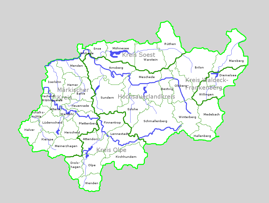
Deutsch: selbst erstellte Karte des Sauerlands mit Kreisen, Städte/Gemeinden und wichtigen Flüssen |
| Dato | |
| Fonto | Propra verko |
| Aŭtoro | Manoftours |
| Ceteraj versioj |
 |
Permesiloj:

|
La posedanto de la aŭtorrajto por ĉi tiu verko permesas al ĉiu ajn uzi tiun ĉiucele, inkluzive nelimigitan distribuon, komercan uzon kaj aliigon.
Uznotoj: |
Dosierhistorio
Alklaku iun daton kaj horon por vidi kiel la dosiero tiam aspektis.
| Dato/Horo | Bildeto | Grandecoj | Uzanto | Komento | |
|---|---|---|---|---|---|
| nun | 17:35, 21 okt. 2008 | | 928 × 700 (133 KB) | Manoftours | ((Information |Description=((de|1=selbst erstellte Karte des Sauerlands mit Kreisen, Städte/Gemeinden und wichtigen Flüssen)) |Source=Eigenes Werk (own work) |Author=Manoftours |Date=21.10.2008 |Permission= |other_versions= )) <!--{ |
Dosiera uzado
La jena paĝo ligas al ĉi tiu dosiero:
Suma uzado de la dosiero
La jenaj aliaj vikioj utiligas ĉi tiun dosieron:
- Uzado en da.wikipedia.org
- Uzado en de.wikipedia.org
- Sauerland
- Diskussion:Sauerland
- Benutzer:Manoftours
- Portal:Sauerland/Artikelarchiv
- Portal:Sauerland
- Portal:Sauerland/Metainformationen
- Benutzer:Ulflulfl/Karten
- Wikipedia:WikiProjekt Kommunen und Landkreise in Deutschland/Ortsteile/Nordrhein-Westfalen/Sauerland
- Liste von Bergwerken im Sauerland
- Portal:Sauerland/Neu
- Uzado en de.wikivoyage.org
- Uzado en fr.wikipedia.org
- Uzado en fy.wikipedia.org
- Uzado en ja.wikipedia.org
- Uzado en nl.wikipedia.org
- Uzado en no.wikipedia.org
Text is available under the CC BY-SA 4.0 license; additional terms may apply.
Images, videos and audio are available under their respective licenses.
Cover photo is available under {{::mainImage.info.license.name || 'Unknown'}} license.
Cover photo is available under {{::mainImage.info.license.name || 'Unknown'}} license.
Credit:
(see original file).
