Dosiero:Mali relief location map.jpg
Grandeco de ĉi antaŭvido: 629 × 600 rastrumeroj. Aliaj distingivoj: 252 × 240 rastrumeroj | 503 × 480 rastrumeroj | 805 × 768 rastrumeroj | 1 074 × 1 024 rastrumeroj | 1 900 × 1 812 rastrumeroj.
Bildo en pli alta difino ((1 900 × 1 812 rastrumeroj, grandeco de dosiero: 1,72 MB, MIME-tipo: image/jpeg))
| Jen dosiero de la Wikimedia-Komunejo. La priskribo en ties priskriba paĝo estas montrata suben.
|
| Priskribo |
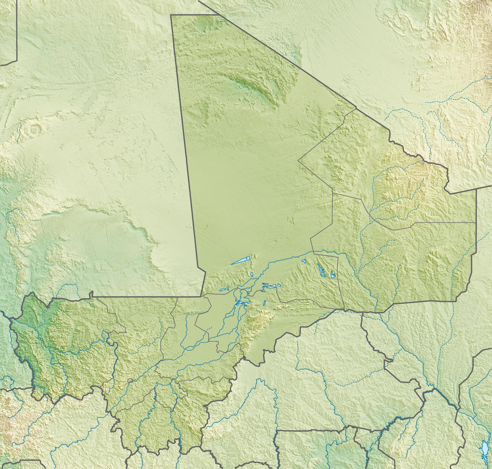
Deutsch: Physische Positionskarte von Malienne
Quadratische Plattkarte, N-S-Streckung 105 %. Geographische Begrenzung der Karte:
English: Physical location map of Malienne
Equirectangular projection, N/S stretching 105 %. Geographic limits of the map:
|
| Dato | |
| Fonto | Propra verko, using map data from administrative map by NordNordWest. The relief was created from SRTM-30 relief data |
| Aŭtoro | Carport |
| Permeso (Reuzo de la dosiero) |
Ĉi tiu dosiero estas disponebla laŭ la permesilo Krea Komunaĵo Atribuite-Samkondiĉe 3.0 Neadaptita.
|
| Ceteraj versioj |
|
Dosierhistorio
Alklaku iun daton kaj horon por vidi kiel la dosiero tiam aspektis.
| Dato/Horo | Bildeto | Grandecoj | Uzanto | Komento | |
|---|---|---|---|---|---|
| nun | 15:22, 6 maj. 2010 | | 1 900 × 1 812 (1,72 MB) | Carport | ((Information |Description=((de|Physische Positionskarte von ((w|Mali|3=de)))) Quadratische Plattkarte, N-S-Streckung 105 %. Geographische Begrenzung der Karte: * N: 25.5° N * S: 9.7° N * W: 12.6° W * O: 4.8° O ((en|Physical location map of ((w|Mali)) |
Dosiera uzado
La jenaj paĝoj ligas al ĉi tiu dosiero:
- Adrar des Ifoghas
- Azavado
- Bamako
- Gossi
- Granda moskeo de Djenné
- Koulikoro
- Lago Debo
- Lago Fati
- Lago Kabara
- Lago Korientzé
- Lago Tanda
- Léré (Malio)
- Monto Hombori
- Moskeo de Sidi Jahja
- Moskeo de Ĝingerejber
- Regiono Gao
- Regiono Kayes
- Regiono Kidal
- Regiono Koulikoro
- Regiono Mopti
- Regiono Sikasso
- Regiono Ségou
- Tombo de Askia
- Universitato de Sankore
- Ŝablono:Geokesto lokumilo Malio
- Ŝablono:Situo sur mapo Malio
Suma uzado de la dosiero
La jenaj aliaj vikioj utiligas ĉi tiun dosieron:
- Uzado en ar.wikipedia.org
- Uzado en arz.wikipedia.org
- Uzado en ast.wikipedia.org
- Uzado en az.wikipedia.org
- Uzado en ba.wikipedia.org
- Uzado en be.wikipedia.org
- Uzado en bg.wikipedia.org
- Uzado en bn.wikipedia.org
- Uzado en bs.wikipedia.org
- Uzado en ca.wikipedia.org
- Uzado en ceb.wikipedia.org
- Uzado en ce.wikipedia.org
- Uzado en ckb.wikipedia.org
- Uzado en cs.wikipedia.org
- Uzado en da.wikipedia.org
- Uzado en de.wikipedia.org
- Mali
- Timbuktu
- Manantali-Talsperre
- Massina
- Gossi (See)
- Hombori Tondo
- Vorlage:Positionskarte Mali
- Wikipedia:Kartenwerkstatt/Positionskarten/Afrika
- Débo-See
- Benutzer:Carport/Galerie
- Adjelhoc
- Faguibine
- Diafarabé
- Welterbe in Mali
- Kabara (Mali)
- Téméra
- Ber (Timbuktu)
- Liste von Kraftwerken in Mali
- Kraftwerk Félou
- Manantali-See
Vidi plian ĝeneralan uzadon de ĉi tiu dosiero.
Metadatumoj
Text is available under the CC BY-SA 4.0 license; additional terms may apply.
Images, videos and audio are available under their respective licenses.
Cover photo is available under {{::mainImage.info.license.name || 'Unknown'}} license.
Cover photo is available under {{::mainImage.info.license.name || 'Unknown'}} license.
Credit:
(see original file).
