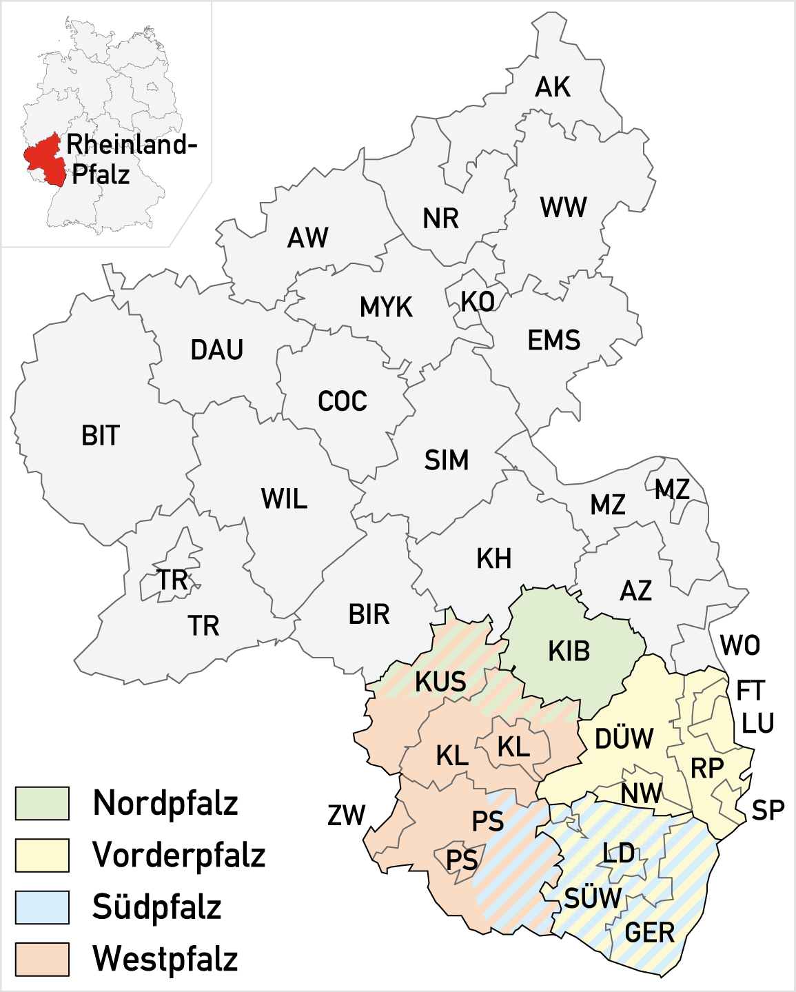
File:Teilbereiche der Pfalz.png
Size of this preview: 481 × 599 pixels. Other resolutions: 193 × 240 pixels | 385 × 480 pixels | 616 × 768 pixels | 1,155 × 1,439 pixels.
Original file (1,155 × 1,439 pixels, file size: 207 KB, MIME type: image/png)
| This is a file from the Wikimedia Commons. Information from its description page there is shown below. Commons is a freely licensed media file repository. You can help. |
| Description |
|
|
| Date | ||
| Source |
Self made, using
|
|
| Author | Maximilian Dörrbecker (Chumwa) | |
| Permission (Reusing this file) |
I, the copyright holder of this work, hereby publish it under the following license: This file is licensed under the Creative Commons Attribution-Share Alike 2.5 Generic license.
Sie dürfen das Bild zu den folgenden Bedingungen nutzen:
|
File history
Click on a date/time to view the file as it appeared at that time.
| Date/Time | Thumbnail | Dimensions | User | Comment | |
|---|---|---|---|---|---|
| current | 17:37, 24 September 2009 | | 1,155 × 1,439 (207 KB) | Chumwa | Hinterpfalz gibt's nicht mehr, Nordpfalz aufgeweitet |
| 16:45, 11 May 2008 |  | 1,155 × 1,439 (204 KB) | Chumwa | Grenzprobleme in der Hinterpfalz beseitigt | |
| 16:28, 11 May 2008 |  | 1,155 × 1,439 (204 KB) | Chumwa | Südpfalz nochmal geändert | |
| 20:26, 10 May 2008 |  | 1,155 × 1,439 (203 KB) | Chumwa | Überschneidungsbereiche ergänzt | |
| 18:08, 10 May 2008 |  | 1,155 × 1,439 (198 KB) | Chumwa | ((Information |Description= *(( de )) Karte der Teilbereiche der Pfalz |Source=Self made, using * Background map ((Kartenwünsche)) |Date=Mai 2008 |Author=Maximilian Dörrbecker (Chumwa) | |
File usage
The following pages on the English Wikipedia use this file (pages on other projects are not listed):
Global file usage
The following other wikis use this file:
- Usage on als.wikipedia.org
- Usage on ar.wikipedia.org
- Usage on ast.wikipedia.org
- Usage on bg.wikipedia.org
- Usage on ca.wikipedia.org
- Usage on cs.wikipedia.org
- Usage on da.wikipedia.org
- Usage on de.wikipedia.org
- Usage on eo.wikipedia.org
- Usage on es.wikipedia.org
- Usage on fr.wikipedia.org
- Usage on gl.wikipedia.org
- Usage on id.wikipedia.org
- Usage on it.wikipedia.org
- Usage on ja.wikipedia.org
- Usage on nl.wikipedia.org
- Usage on pdc.wikipedia.org
- Usage on pfl.wikipedia.org
- Usage on ro.wikipedia.org
- Usage on ru.wikipedia.org
- Usage on sv.wikipedia.org
- Usage on uk.wikipedia.org
- Usage on www.wikidata.org
- Usage on zh.wikipedia.org
Text is available under the CC BY-SA 4.0 license; additional terms may apply.
Images, videos and audio are available under their respective licenses.
Cover photo is available under {{::mainImage.info.license.name || 'Unknown'}} license.
Cover photo is available under {{::mainImage.info.license.name || 'Unknown'}} license.
Credit:
(see original file).
