File:Reliefkarte Appenzell Ausserrhoden blank.png
Size of this preview: 615 × 599 pixels. Other resolutions: 246 × 240 pixels | 493 × 480 pixels | 788 × 768 pixels | 1,093 × 1,065 pixels.
Original file (1,093 × 1,065 pixels, file size: 1.09 MB, MIME type: image/png)
| This is a file from the Wikimedia Commons. Information from its description page there is shown below. Commons is a freely licensed media file repository. You can help. |
| Description |
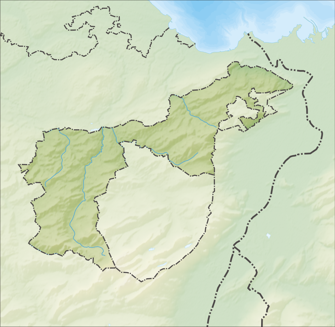
Deutsch: Reliefkarte des Kantons Appenzell Ausserrhoden
Topographischer Hintergrund: NASA Shuttle Radar Topography Mission (public domain). SRTM3 v.2. |
||||||||
| Date | |||||||||
| Source | Own work | ||||||||
| Author | Tschubby | ||||||||
| Permission (Reusing this file) |
I, the copyright holder of this work, hereby publish it under the following licenses:
This file is licensed under the Creative Commons Attribution-Share Alike 2.5 Generic, 2.0 Generic and 1.0 Generic license.
You may select the license of your choice. |
||||||||
| Other versions |
 |

File history
Click on a date/time to view the file as it appeared at that time.
| Date/Time | Thumbnail | Dimensions | User | Comment | |
|---|---|---|---|---|---|
| current | 11:05, 5 December 2013 | | 1,093 × 1,065 (1.09 MB) | Tschubby | ((Information |Description= ((de| Reliefkarte des Kantons Appenzell Ausserrhoden)) Topographischer Hintergrund: [http://www2.jpl.nasa.gov/srtm NASA Shuttle Radar Topography Mission] (public domain). SRTM3 v.2. |Source=((own)) |Date= 2013-12-05 |Author=... |
File usage
The following pages on the English Wikipedia use this file (pages on other projects are not listed):
- Bühler
- Gais
- Grimmenstein monastery
- Grub, Appenzell Ausserrhoden
- Heiden, Switzerland
- Herisau
- Hundwil
- List of castles and fortresses in Switzerland
- Lutzenberg, Switzerland
- Rehetobel
- Reute
- Rosenberg Castle (Appenzell)
- Rosenburg Castle (Ramsenberg)
- Schwellbrunn
- Schönengrund
- Speicher, Switzerland
- Stein, Appenzell
- Teufen, Appenzell Ausserrhoden
- Trogen, Switzerland
- Urnäsch
- Wald, Appenzell Ausserrhoden
- Waldstatt
- Walzenhausen
- Wolfhalden
- Wonnenstein Friary
- Template:List of castles and fortresses in Canton Appenzell Ausserrhoden/location map
- Module:Location map/data/Canton of Appenzell Ausserrhoden
- Module:Location map/data/Canton of Appenzell Ausserrhoden/doc
Global file usage
The following other wikis use this file:
- Usage on de.wikipedia.org
- Gäbris
- Schwägalp
- Stoss AR
- Urnäsch (Fluss)
- Liste von Burgen und Schlössern in der Schweiz
- Kaien
- Gupf AR
- Wikipedia:Kartenwerkstatt/Positionskarten/Europa
- Hoher Hirschberg
- Spitzli (Appenzellerland)
- Holzbrücke Hundwil
- Mittelpunkt des Kantons Appenzell Ausserrhoden
- Vorlage:Positionskarte Schweiz Appenzell Ausserrhoden
- Hochalp
- Klinik Am Rosenberg
- Gmündertobelbrücke
- Siphon Sitterstollen
- Benutzer:Tschubby/Reliefkarten
- Wissegg
- Hundwilertobelbrücke
- Hundwilertobelbrücke (1925)
- Alte Hundwilerbrücke
- Steblenbachbrücke
- Rotbachbrücke
- Alte Gmündertobelbrücke
- Rotbachbrücke (1984)
- Usage on eo.wikipedia.org
- Ŝablono:Situo sur mapo Svislando Apencelo Ekstera
- Gais (stacidomo)
- Herisau (stacidomo)
- Heiden (stacidomo)
- Bühler (stacidomo)
- Steigbach (stacidomo)
- Teufen AR (stacidomo)
- Teufen AR Stofel (stacidomo)
- Sternen bei Teufen (stacidomo)
- Niederteufen (stacidomo)
- Urnäsch (stacidomo)
- Waldstatt (stacidomo)
- Zürchersmühle (stacidomo)
- Herisau Wilen (stacidomo)
- Zweibrücken (stacidomo)
- Strahlholz (stacidomo)
- Hebrig (stacidomo)
- Schachen (Gais) (stacidomo)
- Rietli (stacidomo)
- Stoss AR (stacidomo)
- Lustmühle (stacidomo)
View more global usage of this file.
Metadata
Text is available under the CC BY-SA 4.0 license; additional terms may apply.
Images, videos and audio are available under their respective licenses.
Cover photo is available under {{::mainImage.info.license.name || 'Unknown'}} license.
Cover photo is available under {{::mainImage.info.license.name || 'Unknown'}} license.
Credit:
(see original file).
