File:Oxfordshire outline map with UK.png
Size of this preview: 504 × 600 pixels. Other resolutions: 202 × 240 pixels | 600 × 714 pixels.
Original file (600 × 714 pixels, file size: 296 KB, MIME type: image/png)
| This is a file from the Wikimedia Commons. Information from its description page there is shown below. Commons is a freely licensed media file repository. You can help. |
Summary
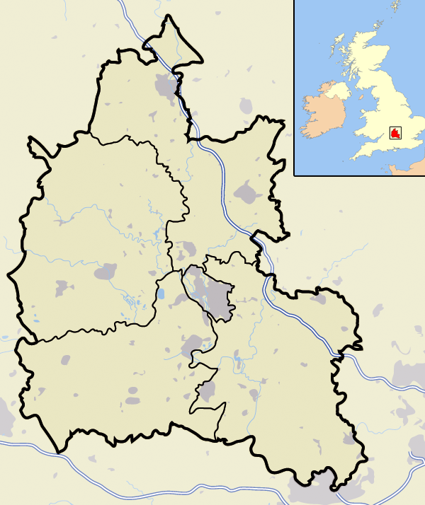
| Description | Map of the county of Oxfordshire, England, United Kingdom |
| Date | |
| Source | Own work |
| Author | Jhamez84 |
Licensing
| I, the copyright holder of this work, release this work into the public domain. This applies worldwide. In some countries this may not be legally possible; if so: I grant anyone the right to use this work for any purpose, without any conditions, unless such conditions are required by law. |
File history
Click on a date/time to view the file as it appeared at that time.
| Date/Time | Thumbnail | Dimensions | User | Comment | |
|---|---|---|---|---|---|
| current | 16:09, 23 November 2007 | | 600 × 714 (296 KB) | Jza84 | ((Information |Description=Map of the county of Oxfordshire, England, United Kingdom |Source=self-made |Date=November 2007 |Author= Jhamez84 |Permission=See below |other_versions= )) |
File usage
The following pages on the English Wikipedia use this file (pages on other projects are not listed):
Global file usage
The following other wikis use this file:
- Usage on cs.wikipedia.org
- Usage on hy.wikipedia.org
- Usage on ml.wikipedia.org
Text is available under the CC BY-SA 4.0 license; additional terms may apply.
Images, videos and audio are available under their respective licenses.
Cover photo is available under {{::mainImage.info.license.name || 'Unknown'}} license.
Cover photo is available under {{::mainImage.info.license.name || 'Unknown'}} license.
Credit:
(see original file).
