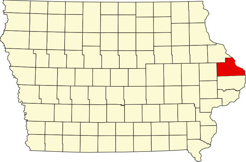
Αρχείο:Map of Iowa highlighting Jackson County.svg

Εικόνα σε υψηλότερη ανάλυση (Αρχείο SVG, ονομαστικό μέγεθος 1.783 × 1.168 εικονοστοιχεία, μέγεθος αρχείου: 31 KB)
Ιστορικό αρχείου
Κλικάρετε σε μια ημερομηνία/ώρα για να δείτε το αρχείο όπως εμφανιζόταν εκείνη τη στιγμή.
| Ώρα/Ημερομ. | Μικρογραφία | Διαστάσεις | Χρήστης | Σχόλια | |
|---|---|---|---|---|---|
| τελευταία | 15:06, 25 Ιουνίου 2024 |  | 1.783 × 1.168 (31 KB) | Nux | uniform colors with good contrast |
| 22:12, 19 Ιουνίου 2024 |  | 1.783 × 1.168 (31 KB) | Nux | fix rendering (remove clipping) | |
| 12:14, 12 Φεβρουαρίου 2006 |  | 5.350 × 3.504 (43 KB) | David Benbennick | ((subst:User:Dbenbenn/clm|county=Jackson County|state=Iowa)) |
Συνδέσεις αρχείου
Τα παρακάτω λήμματα συνδέουν σε αυτό το αρχείο:
Καθολική χρήση αρχείου
Τα ακόλουθα άλλα wiki χρησιμοποιούν αυτό το αρχείο:
- Χρήση σε ar.wikipedia.org
- Χρήση σε bg.wikipedia.org
- Χρήση σε bpy.wikipedia.org
- Χρήση σε cdo.wikipedia.org
- Χρήση σε ceb.wikipedia.org
- Χρήση σε ce.wikipedia.org
- Χρήση σε cy.wikipedia.org
- Χρήση σε de.wikipedia.org
- Χρήση σε en.wikipedia.org
- List of counties in Iowa
- Jackson County, Iowa
- Andrew, Iowa
- Baldwin, Iowa
- Bellevue, Iowa
- La Motte, Iowa
- Maquoketa, Iowa
- Miles, Iowa
- Monmouth, Iowa
- Preston, Iowa
- Sabula, Iowa
- Spragueville, Iowa
- Springbrook, Iowa
- St. Donatus, Iowa
- Zwingle, Iowa
- Maquoketa Caves State Park
- Canton, Iowa
- Savanna–Sabula Bridge
- Potter's Mill
- Lock and Dam No. 12
- Template:Jackson County, Iowa
- Jackson County Courthouse (Bellevue, Iowa)
Δείτε περισσότερη καθολική χρήση αυτού του αρχείου.
Μεταδεδομένα
Text is available under the CC BY-SA 4.0 license; additional terms may apply.
Images, videos and audio are available under their respective licenses.
