Vorlage:Imagemap Landkreis Weimarer Land
aus Wikipedia, der freien Enzyklopädie
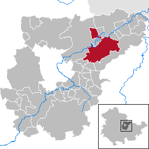
Diese Vorlage erzeugt eine anklickbare Karte (eine sogenannte Imagemap) mit den Gemeinden des Landkreises Weimarer Land.
Verwendung mit Standardmaßen:
((Imagemap Landkreis Weimarer Land|Bild.png))
((Imagemap Landkreis Weimarer Land|Bild.png|Name der Gemeinde))
Verwendung mit abweichenden Maßen:
((Imagemap Landkreis Weimarer Land|Bild.png|thumb|299x299px|…))
((Imagemap Landkreis Weimarer Land|Bild=Bild.png|Maße=thumb((!))299x299px|Alt=…))
Es dürfen nur Bilder mit einer Basisgröße von 299 × 299 Pixeln eingesetzt werden. Die zur Verfügung stehenden Karten sind in der Kategorie Locator maps of municipalities in the Landkreis Weimarer Land aufgezählt.
Text is available under the CC BY-SA 4.0 license; additional terms may apply.
Images, videos and audio are available under their respective licenses.
Cover photo is available under {{::mainImage.info.license.name || 'Unknown'}} license.
Cover photo is available under {{::mainImage.info.license.name || 'Unknown'}} license.
Credit:
(see original file).
