Charters Towers
aus Wikipedia, der freien Enzyklopädie
| Charters Towers | |||||||
|---|---|---|---|---|---|---|---|
 Historisches Gebäude von Charters Towers, im Besitz des National Trust | |||||||
| |||||||
| |||||||
| |||||||
| |||||||
| Charters Towers | ||||||||||||||||||||||||||||||||||||||||||||||||
|---|---|---|---|---|---|---|---|---|---|---|---|---|---|---|---|---|---|---|---|---|---|---|---|---|---|---|---|---|---|---|---|---|---|---|---|---|---|---|---|---|---|---|---|---|---|---|---|---|
| Klimadiagramm | ||||||||||||||||||||||||||||||||||||||||||||||||
| ||||||||||||||||||||||||||||||||||||||||||||||||
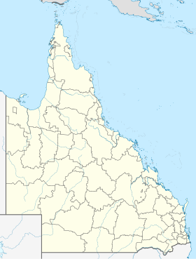
Charters Towers ist eine Stadt im australischen Bundesstaat Queensland und liegt im Binnenland etwa 130 km südwestlich von Townsville auf einer Höhe von etwa 310 m.
Charters Towers entstand infolge des Goldrauschs Ende des 19. Jahrhunderts und war zeitweise mit bis zu 27.000 Einwohnern die zweitgrößte Stadt Queenslands nach Brisbane. Sie war zudem die einzige Nicht-Hauptstadt Australiens mit einer eigenen Börse. Bis zum Ersten Weltkrieg wurden über 200 Tonnen Gold gewonnen und die Goldfelder von Charters Towers waren damit die ergiebigsten in ganz Australien. Danach musste man immer tiefer vordringen und die Goldgewinnung wurde unprofitabel. Schätzungen gehen davon aus, dass in den Minen mindestens noch einmal die Menge des bereits abgebauten Goldes zu finden ist.
Die Bevölkerung von Charters Towers ist mittlerweile auf etwa 8000 gesunken.[1] Dennoch bleibt der Ort sehenswert, da die Gebäude und die Architektur noch Zeugnis ablegen von dem ehemaligen Reichtum der Stadt und ihrer Bewohner.
Weblinks
[Bearbeiten | Quelltext bearbeiten]Einzelnachweise
[Bearbeiten | Quelltext bearbeiten]- ↑ a b Charters Towers. 2021 Census Quickstat. Australian Bureau of Statistics, 28. Juni 2022, abgerufen am 26. März 2023 (englisch).
- ↑ Bureau of Meteorology, Australia: Klimainformationen Charters Towers. World Meteorological Organization, abgerufen am 6. April 2012.
Text is available under the CC BY-SA 4.0 license; additional terms may apply.
Images, videos and audio are available under their respective licenses.

