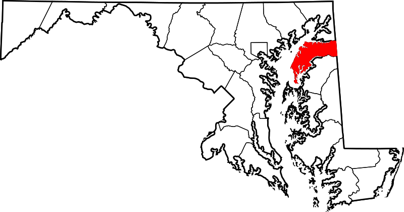
Delwedd:Map of Maryland highlighting Kent County.svg

Maint llawn (Ffeil SVG, maint mewn enw 1,929 × 1,009 picsel, maint y ffeil: 80 KB)
Hanes y ffeil
Cliciwch ar ddyddiad / amser i weld y ffeil fel ag yr oedd bryd hynny.
| Dyddiad / Amser | Bawdlun | Hyd a lled | Defnyddiwr | Sylw | |
|---|---|---|---|---|---|
| cyfredol | 21:42, 24 Mehefin 2024 |  | 1,929 × 1,009 (80 KB) | Nux | fix rendering (remove clipping) |
| 12:49, 12 Chwefror 2006 |  | 3,858 × 2,019 (139 KB) | David Benbennick | ((subst:User:Dbenbenn/clm|county=Kent County|state=Maryland|type=county)) |
Cysylltiadau'r ffeil
Mae'r 2 tudalennau a ddefnyddir isod yn cysylltu i'r ddelwedd hon:
Defnydd cydwici y ffeil
Mae'r wicis eraill hyn yn defnyddio'r ffeil hon:
- Y defnydd ar ar.wikipedia.org
- Y defnydd ar bg.wikipedia.org
- Y defnydd ar bpy.wikipedia.org
- Y defnydd ar ca.wikipedia.org
- Y defnydd ar cdo.wikipedia.org
- Y defnydd ar ceb.wikipedia.org
- Y defnydd ar ce.wikipedia.org
- Y defnydd ar de.wikipedia.org
- Y defnydd ar el.wikipedia.org
- Y defnydd ar en.wikipedia.org
- Kent County, Maryland
- List of counties in Maryland
- Betterton, Maryland
- Chestertown, Maryland
- Galena, Maryland
- Rock Hall, Maryland
- Millington, Maryland
- Georgetown, Maryland
- Template:Kent County, Maryland
- Tolchester Beach, Maryland
- Still Pond, Maryland
- Worton, Maryland
- User:Nyttend/County templates/MD
- National Register of Historic Places listings in Kent County, Maryland
- Kennedyville, Maryland
- Fairlee, Maryland
- Chesterville, Maryland
- Pomona, Maryland
- Sassafras, Maryland
- Golts, Maryland
- Lynch, Maryland
- Massey, Maryland
- Sharpstown, Maryland
- Hassengers Corner, Maryland
- Category:Populated places in Kent County, Maryland
- Langford, Maryland
- Tolchester, Maryland
- Butlertown, Maryland
- Edesville, Maryland
- Georgetown (CDP), Maryland
Gweld rhagor o'r defnydd cydwici o'r ffeil hon.
Metadata
Text is available under the CC BY-SA 4.0 license; additional terms may apply.
Images, videos and audio are available under their respective licenses.
