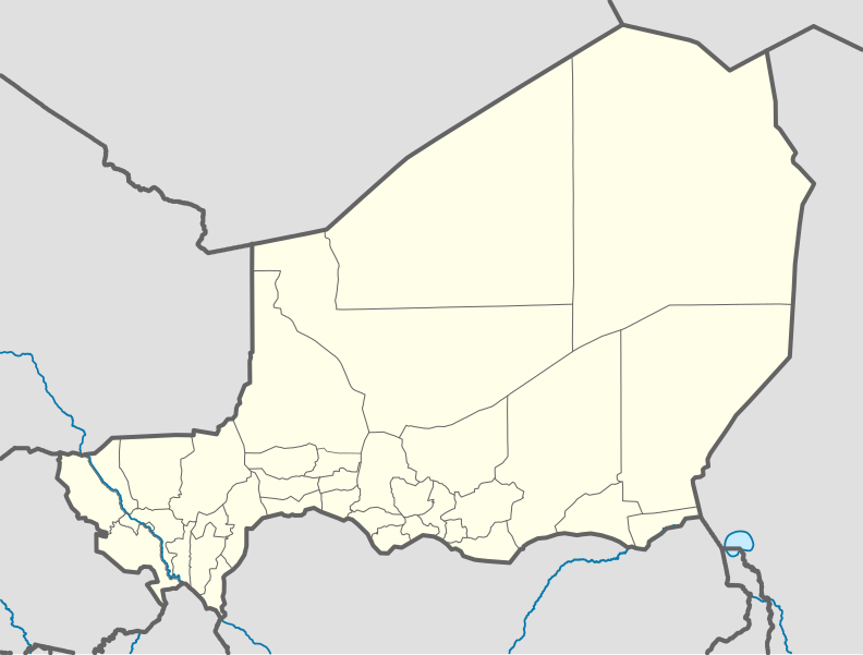
Payl:Niger location map.svg

Tibuok resolusyon (SVG nga payl, nominally 1,006 × 762 pixels, size sa payl: 101 KB)
Kaagi sa payl
I-klik ang petsa/oras aron makit-an ang hulagway sa payl niadtong panahona.
| Petsa/Takna | Thumbnail | Mga dimensyon | Tiggamit | Komento | |
|---|---|---|---|---|---|
| kasamtangan | 09:52, 6 Disyembre 2011 |  | 1,006 × 762 (101 KB) | NordNordWest | cleanup |
| 13:02, 10 Pebrero 2010 |  | 1,006 × 762 (435 KB) | Carport | ((Information |Description=((de|1=Positionskarte von ((w|Niger|3=de)) ((w|Quadratische Plattkarte|3=de)), N-S-Streckung. Geographische Begrenzung der Karte: * N: 24° N * S: 11° N * W: 1° W * O: 17° O)) ((en|1=Location map of ((w|Niger)) Equirectangu |
Mga paggamit sa payl
More than 100 pages use this file. The following list shows the first 100 pages that use this file only. A full list is available.
- Aar
- Ader
- Al Bab
- Alala
- Alama
- Arel
- Arianga
- Asia (pagklaro)
- Assassa
- Assio
- Babila
- Baga
- Baha
- Baker
- Balaga
- Bango Béro
- Banka
- Barges (pagklaro)
- Bata
- Bela
- Berik
- Berje
- Binga
- Bobo
- Bonkongou
- Bouboulé
- Bounga
- Bélé Banguia
- Damana
- Dano
- Dole (pagklaro)
- El Mina
- El Ouar
- Essa
- Essen
- Faris
- Fasso
- Foga
- Fogou
- Gamba
- Gambou
- Ganda
- Gari (pagklaro)
- Golo
- Gonga
- Gora
- Goso
- Hanga
- Igara
- Kabe
- Kabé
- Kakan
- Kambo
- Kanga
- Karah
- Kaya
- Kifa
- Ko
- Kola
- Kolo
- Koudo
- Koura
- Kouté
- Krila
- Lagora
- Lama (pagklaro)
- Laya
- Laya Fouanou
- Loa
- Lomona
- Louga
- Lougou
- Magara
- Maloma
- Mana (pagklaro)
- Mari
- Mayet (pagklaro)
- Miri
- Nabi
- Saouna
- Sela
- Siba
- Séno
- Tako
- Tal
- Tamara
- Tanao
- Tapoa
- Tawala
- Tchia
- Tende (pagklaro)
- Tenifat
- Tera
- Tiro (pagklaro)
- Tola
- Tondi Banda
- Tondi Béri
- Toudou
- Téra
- Yara
View more links to this file.
Global nga paggamit sa payl
Kining ubang wiki naggamit ning maong payl:
- Paggamit sa af.wikipedia.org
- Paggamit sa am.wikipedia.org
- Paggamit sa an.wikipedia.org
- Paggamit sa ar.wikipedia.org
- Paggamit sa ast.wikipedia.org
- Paggamit sa azb.wikipedia.org
- Paggamit sa az.wikipedia.org
- Paggamit sa ba.wikipedia.org
- Paggamit sa be-tarask.wikipedia.org
- Paggamit sa be.wikipedia.org
- Paggamit sa bg.wikipedia.org
- Paggamit sa bn.wikipedia.org
- Paggamit sa br.wikipedia.org
- Paggamit sa bs.wikipedia.org
- Paggamit sa ca.wikipedia.org
View more global usage of this file.
Text is available under the CC BY-SA 4.0 license; additional terms may apply.
Images, videos and audio are available under their respective licenses.

