Fitxer:Togo location map Topographic.png
Mida d'aquesta previsualització: 408 × 600 píxels. Altres resolucions: 163 × 240 píxels | 326 × 480 píxels | 717 × 1.054 píxels.
Fitxer original (717 × 1.054 píxels, mida del fitxer: 1,17 Mo, tipus MIME: image/png)
| Aquest fitxer i la informació mostrada a continuació provenen del dipòsit multimèdia lliure Wikimedia Commons. |
Resum
| Descripció |
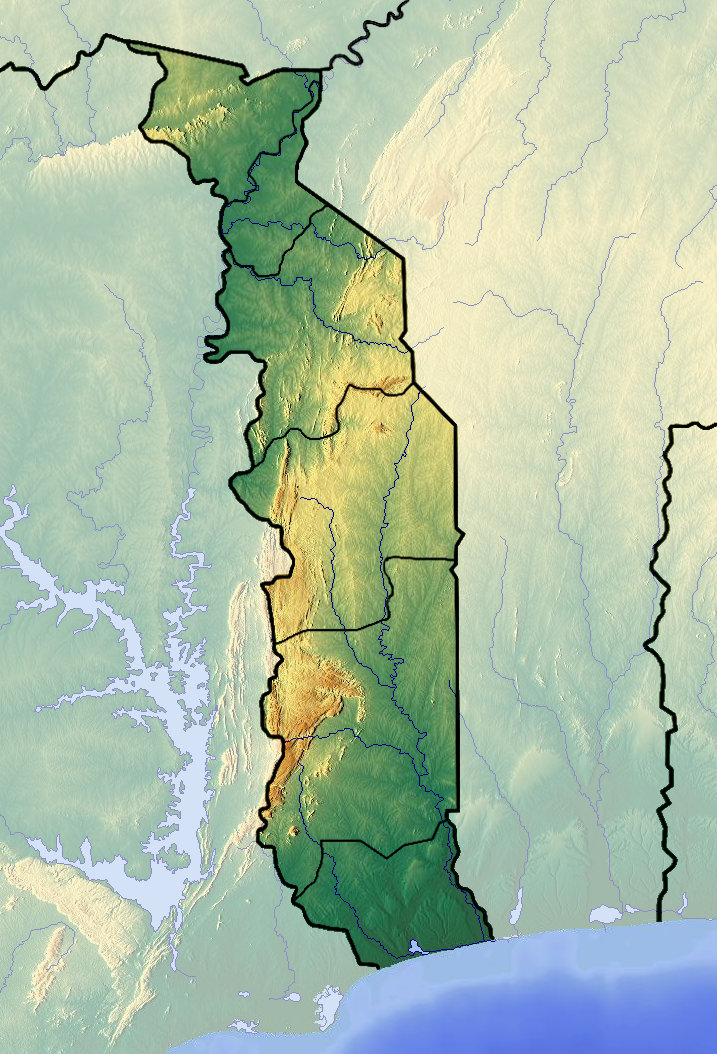
Français : Carte topographique du Togo |
| Data | |
| Font | Treball propi (backgroung : http://www.maps-for-free.com) |
| Autor | Dr Brains |
Llicència
Jo, el titular dels drets d'autor d'aquest treball, el public sota les següents llicències:

|
S'autoritza la còpia, la distribució i la modificació d'aquest document sota els termes de la llicència de documentació lliure GNU versió 1.2, publicada per la Free Software Foundation; sense seccions invariants, ni textos de portada, ni textos de contraportada. S'inclou una còpia d'aquesta llicència en la secció titulada GNU Free Documentation License. | 1.2 només |
|
|
S'autoritza la còpia, la distribució i la modificació d'aquest document sota els termes de la llicència de documentació lliure GNU versió 1.3 o qualsevol altra versió posterior que publiqui la Free Software Foundation; sense seccions invariants, ni textos de portada, ni textos de contraportada. S'inclou una còpia d'aquesta llicència en la secció titulada GNU Free Documentation License.
|
If this file is eligible for relicensing, it may also be used under the Creative Commons Attribution-ShareAlike 3.0 license. The relicensing status of this image needs to be manually reviewed by an experienced user. You can help.
|
Podeu seleccionar la llicència que vulgueu.
Historial del fitxer
Cliqueu una data/hora per veure el fitxer tal com era aleshores.
| Data/hora | Miniatura | Dimensions | Usuari/a | Comentari | |
|---|---|---|---|---|---|
| actual | 16:04, 26 juny 2012 | | 717 × 1.054 (1,17 Mo) | Dark Attsios | pleine résolution (erreur de ma part) |
| 15:38, 26 juny 2012 |  | 408 × 599 (411 Ko) | Dark Attsios | réajustement de la carte pour concorder avec le fichier svg | |
| 23:27, 11 juny 2012 |  | 722 × 1.057 (1,17 Mo) | Dr Brains |
Ús del fitxer
Les 2 pàgines següents utilitzen aquest fitxer:
Ús global del fitxer
Utilització d'aquest fitxer en altres wikis:
- Utilització a ar.wikipedia.org
- Utilització a ast.wikipedia.org
- Utilització a az.wikipedia.org
- Utilització a ba.wikipedia.org
- Utilització a bcl.wikipedia.org
- Utilització a be.wikipedia.org
- Utilització a bg.wikipedia.org
- Utilització a bn.wikipedia.org
- Utilització a bs.wikipedia.org
- Utilització a ceb.wikipedia.org
- Utilització a cs.wikipedia.org
- Utilització a da.wikipedia.org
- Utilització a de.wikipedia.org
- Utilització a el.wikipedia.org
- Utilització a en.wikipedia.org
- Lomé
- Mount Agou
- Kéran National Park
- Fazao Malfakassa National Park
- Abdoulaye Faunal Reserve
- Module:Location map/data/Togo/doc
- 1963 Togolese coup d'état
- Geology of Togo
- Nangbeto Dam
- Fosse aux Lions National Park
- Module:Location map/data/Togo
- List of fossiliferous stratigraphic units in Togo
- 1967 Togolese coup d'état
- 1986 Togolese coup attempt
- Mont Atilakoutse
- Utilització a eo.wikipedia.org
- Utilització a fa.wikipedia.org
Vegeu més usos globals d'aquest fitxer.
Metadades
Text is available under the CC BY-SA 4.0 license; additional terms may apply.
Images, videos and audio are available under their respective licenses.
Cover photo is available under {{::mainImage.info.license.name || 'Unknown'}} license.
Cover photo is available under {{::mainImage.info.license.name || 'Unknown'}} license.
Credit:
(see original file).
