Fitxer:Hakkari districts.png
Mida d'aquesta previsualització: 776 × 600 píxels. Altres resolucions: 311 × 240 píxels | 621 × 480 píxels | 994 × 768 píxels | 1.056 × 816 píxels.
Fitxer original (1.056 × 816 píxels, mida del fitxer: 13 Ko, tipus MIME: image/png)
| Aquest fitxer i la informació mostrada a continuació provenen del dipòsit multimèdia lliure Wikimedia Commons. |
Resum
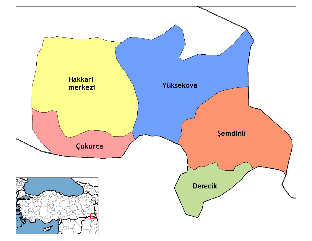
| Descripció | Map of the districts of Hakkari province in Turkey. Created by Rarelibra 20:56, 1 December 2006 (UTC) for public domain use, using MapInfo Professional v8.5 and various mapping resources. Edited by One Homo Sapiens Corrected text where İ,Ş,ı,ğ,or ş occurs in name. Source: [statoids-com]. Increased font size and enhanced color differences among adjacent districts. Restored original dimensions. |
| Data | 1r de desembre de 2006 (original upload date) |
| Font | No machine-readable source provided. Own work assumed (based on copyright claims). |
| Autor | No machine-readable author provided. Rarelibra assumed (based on copyright claims). |
Llicència
| Jo, el titular del copyright d'aquesta obra, l'allibero al domini públic. Això s'aplica a tot el món. En alguns països això pot no ser legalment possible, en tal cas: Jo faig concessió a tothom del dret d'usar aquesta obra per a qualsevol propòsit, sense cap condició llevat d'aquelles requerides per la llei. |
derivative works
Derivative works of this file:
Historial del fitxer
Cliqueu una data/hora per veure el fitxer tal com era aleshores.
| Data/hora | Miniatura | Dimensions | Usuari/a | Comentari | |
|---|---|---|---|---|---|
| actual | 19:51, 11 des 2019 | | 1.056 × 816 (13 Ko) | NordNordWest | upd 2018 |
| 00:35, 29 des 2008 |  | 1.056 × 816 (20 Ko) | One Homo Sapiens | Corrected text where İ,Ş,ı,ğ,or ş occurs in name. Source: [statoids-com]. Increased font size and enhanced color differences among adjacent districts. Restored original dimensions. | |
| 02:06, 28 oct 2007 |  | 948 × 770 (38 Ko) | とある白い猫 | removing whitespace | |
| 15:04, 22 oct 2007 |  | 1.056 × 816 (44 Ko) | とある白い猫 | adding neigboring countries | |
| 15:01, 22 oct 2007 |  | 1.056 × 816 (43 Ko) | とある白い猫 | increasing text size | |
| 22:56, 1 des 2006 |  | 1.056 × 816 (24 Ko) | Rarelibra | Map of the districts of Hakkari province in Turkey. Created by ~~~~ for public domain use, using MapInfo Professional v8.5 and various mapping resources. |
Ús del fitxer
Les 3 pàgines següents utilitzen aquest fitxer:
Ús global del fitxer
Utilització d'aquest fitxer en altres wikis:
- Utilització a ar.wikipedia.org
- Utilització a arz.wikipedia.org
- Utilització a ast.wikipedia.org
- Utilització a azb.wikipedia.org
- Utilització a az.wikipedia.org
- Utilització a be.wikipedia.org
- Utilització a br.wikipedia.org
- Utilització a ceb.wikipedia.org
- Utilització a ckb.wikipedia.org
- Utilització a cs.wikipedia.org
- Utilització a cy.wikipedia.org
- Utilització a de.wikipedia.org
- Hakkâri (Provinz)
- Hakkâri
- Şemdinli
- Yüksekova
- Çukurca
- Vorlage:Navigationsleiste Landkreise in Hakkâri
- Adaklı (Yüksekova)
- Bağdaş
- Akalın (Yüksekova)
- Akpınar (Yüksekova)
- Altınoluk (Yüksekova)
- Akçalı (Yüksekova)
- Akocak
- Aksu (Yüksekova)
- Armutdüzü
- Beşatlı
- Vorlage:Navigationsleiste Ortschaften im Landkreis Yüksekova
- Bulaklı
- Büyükçiftlik
- Dağlıca (Yüksekova)
- Dedeler
- Doğanlı (Yüksekova)
- Esendere
- Gürdere
- Kadıköy (Yüksekova)
- Karabey (Yüksekova)
- Karlı
- Kısıklı
- Kolbaşı
- Köprücük
- Köşkönü
- Pınargözü
- Salkımlı
- Serindere
- Suüstü
- Tuğlu
- Yeşiltaş
- Bostancık
Vegeu més usos globals d'aquest fitxer.
Metadades
Text is available under the CC BY-SA 4.0 license; additional terms may apply.
Images, videos and audio are available under their respective licenses.
Cover photo is available under {{::mainImage.info.license.name || 'Unknown'}} license.
Cover photo is available under {{::mainImage.info.license.name || 'Unknown'}} license.
Credit:
(see original file).
