Fitxer:Bolama sectors.png
Mida d'aquesta previsualització: 738 × 599 píxels. Altres resolucions: 296 × 240 píxels | 591 × 480 píxels | 948 × 770 píxels.
Fitxer original (948 × 770 píxels, mida del fitxer: 24 Ko, tipus MIME: image/png)
| Aquest fitxer i la informació mostrada a continuació provenen del dipòsit multimèdia lliure Wikimedia Commons. |
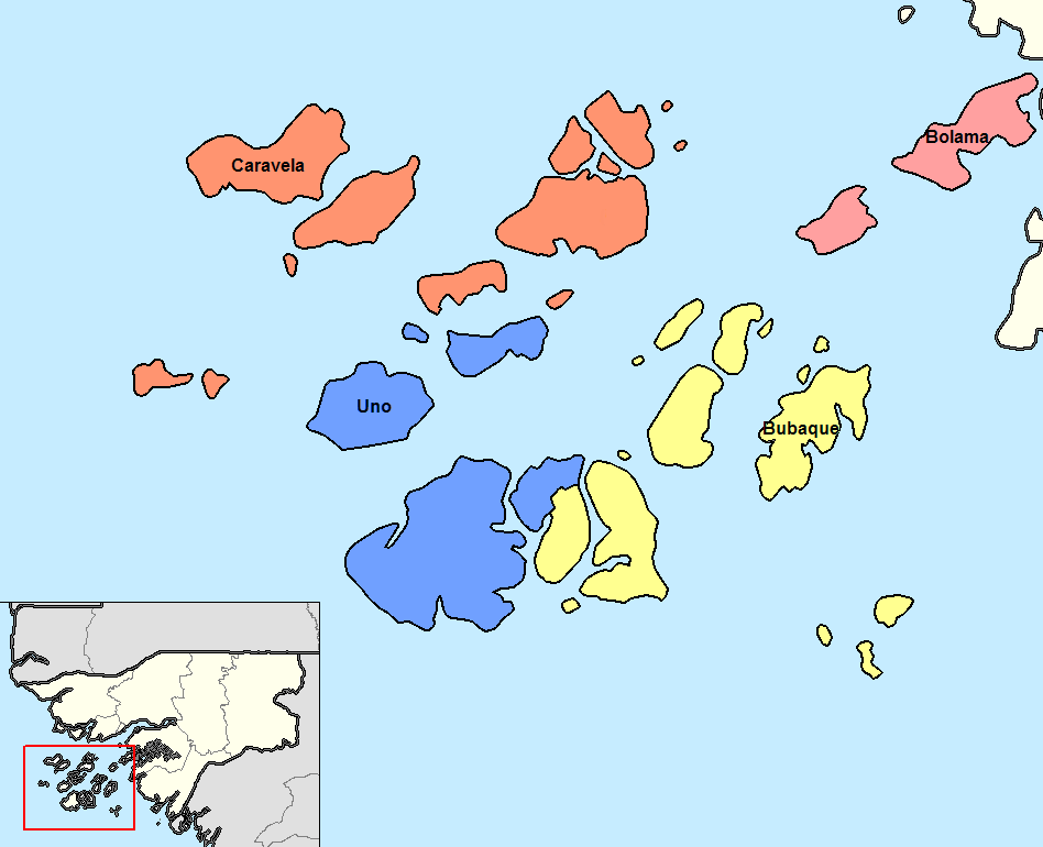
Português: Sectores de Bolama até 2004.
Deutsch: Sektoren der Region Bolama bis 2004.
English: Sectors od the Bolama region until 2004.
Resum
| Descripció | Map of the sectors of Bolama region of Guinea-Bissau. Created by Rarelibra 14:13, 14 September 2006 (UTC) for public domain use, using MapInfo Professional v8.5 and various mapping resources. |
| Data | 5 de gener de 2008 (original upload date) |
| Font | No machine-readable source provided. Own work assumed (based on copyright claims). |
| Autor | No machine-readable author provided. Francofranco56 assumed (based on copyright claims). |
| Altres versions |
|

Llicència
| Jo, el titular del copyright d'aquesta obra, l'allibero al domini públic. Això s'aplica a tot el món. En alguns països això pot no ser legalment possible, en tal cas: Jo faig concessió a tothom del dret d'usar aquesta obra per a qualsevol propòsit, sense cap condició llevat d'aquelles requerides per la llei. |
Historial del fitxer
Cliqueu una data/hora per veure el fitxer tal com era aleshores.
| Data/hora | Miniatura | Dimensions | Usuari/a | Comentari | |
|---|---|---|---|---|---|
| actual | 12:16, 19 ago 2015 | | 948 × 770 (24 Ko) | Naturals | Uno sector since 2004 |
| 13:50, 18 ago 2015 |  | 948 × 770 (24 Ko) | Naturals | colors | |
| 13:46, 18 ago 2015 |  | 948 × 770 (24 Ko) | Naturals | ||
| 12:23, 5 gen 2008 |  | 1.056 × 816 (30 Ko) | Francofranco56 | Map of the sectors of Bolama region of Guinea-Bissau. Created by Rarelibra 14:13, 14 September 2006 (UTC) for public domain use, using MapInfo Professional v8.5 and various mapping resources. == Licensing == ((PD-self)) |
Ús del fitxer
Les 2 pàgines següents utilitzen aquest fitxer:
Ús global del fitxer
Utilització d'aquest fitxer en altres wikis:
- Utilització a cs.wikipedia.org
- Utilització a de.wikipedia.org
- Utilització a en.wikipedia.org
- Utilització a eo.wikipedia.org
- Utilització a es.wikipedia.org
- Utilització a et.wikipedia.org
- Utilització a fi.wikipedia.org
- Utilització a frr.wikipedia.org
- Utilització a fr.wikipedia.org
- Utilització a it.wikipedia.org
- Utilització a ja.wikipedia.org
- Utilització a ko.wikipedia.org
- Utilització a lb.wikipedia.org
- Utilització a lt.wikipedia.org
- Utilització a nl.wikipedia.org
- Utilització a pt.wikipedia.org
- Utilització a ro.wikipedia.org
- Utilització a ru.wikipedia.org
- Utilització a tr.wikipedia.org
- Utilització a uk.wikipedia.org
- Utilització a zh.wikipedia.org
Metadades
Text is available under the CC BY-SA 4.0 license; additional terms may apply.
Images, videos and audio are available under their respective licenses.
Cover photo is available under {{::mainImage.info.license.name || 'Unknown'}} license.
Cover photo is available under {{::mainImage.info.license.name || 'Unknown'}} license.
Credit:
(see original file).
