For faster navigation, this Iframe is preloading the Wikiwand page for Lêer:Rotterdams-Zuid.png.

Lêer:Rotterdams-Zuid.png

Oorspronklike lêer(890 × 606 piksels, lêergrootte: 71 KG, MIME-tipe: image/png)

Hierdie lêer kom vanaf Wikimedia Commons en kan ook in ander projekte gebruik word. Die beskrywing op die lêer se inligtingsblad word hieronder weergegee.

Opsomming

Beskrywing
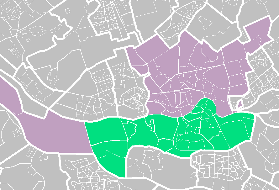
Nederlands: Kaart van Rotterdam zuid
Datum
Bron Eie werk
Outeur Friezer

Lisensiëring

© The copyright holder of this file, Centraal Bureau voor de Statistiek, allows anyone to use it for any purpose, provided that the copyright holder is properly attributed. Redistribution, derivative work, commercial use, and all other use is permitted.

VRT Wikimedia

Toestemming vir die vrye gebruik van hierdie werk is op VRT geverifieer en geargiveer.


Die e-poswisseling is beskikbaar as ticket #2007041210008226 vir gebruikers met 'n VRTS-rekening. Vir bevestiging van hierdie toestemming kan u een van die VRT-vrywilligers kontak. Skakel na die "ticket": https://ticket.wikimedia.org/otrs/index.pl?Action=AgentTicketZoom&TicketNumber=2007041210008226
Find other files from the same ticket: SDC query (SPARQL)

This image is (in part or entirely) based on geographical data from Statistics Netherlands (Centraal Bureau voor de Statistiek). Digital geometry files in ESRI format can be downloaded from their website [1].

In particular, boundary data of statistical districts is based on either the Wijk- en buurtkaart 2005, or the Wijk- en buurtkaart 2003 ("CBS/TOPgrenzen"). Data on localities (bevolkingskernen) are from the publication Bevolkingskernen in Nederland 2001.

Conditions of use (in Dutch):

  • Bij visualisering van gegevens met behulp van het digitale bestand Wijk- en buurtkaart 2005 dient te worden vermeld:
Bron: © 2006, Centraal Bureau voor de Statistiek / Topografische Dienst Kadaster
  • Bij visualisering van gegevens met behulp van het digitale bestand CBS/TOPgrenzen dient te worden vermeld:
Grenzen ondergrond: © 2003, Centraal Bureau voor de Statistiek/Topografische Dienst Kadaster
  • Bij visualisering van gegevens met behulp van het digitale bestand "Bevolkingskernen 2001" dient te worden vermeld:
Bron: © 2005, Centraal Bureau voor de Statistiek

Unless otherwise specified, data on waterways and lakes are from the public domain Digital Chart of the World.

Captions

Add a one-line explanation of what this file represents

Items portrayed in this file

uitbeelding

Lêergeskiedenis

Klik op die datum/tyd om te sien hoe die lêer destyds gelyk het.

Datum/TydDuimnaelDimensiesGebruikerOpmerking
huidig12:52, 14 Junie 2012Duimnaelskets vir weergawe vanaf 12:52, 14 Junie 2012890 × 606 (71 KG)Friezer

Lêergebruik

Die volgende bladsy gebruik dié lêer:

Globale lêergebruik

Die volgende ander wiki's gebruik hierdie lêer:

Metadata

{{bottomLinkPreText}} {{bottomLinkText}}
Lêer:Rotterdams-Zuid.png
Listen to this article

This browser is not supported by Wikiwand :(
Wikiwand requires a browser with modern capabilities in order to provide you with the best reading experience.
Please download and use one of the following browsers:

This article was just edited, click to reload
This article has been deleted on Wikipedia (Why?)

Back to homepage

Please click Add in the dialog above
Please click Allow in the top-left corner,
then click Install Now in the dialog
Please click Open in the download dialog,
then click Install
Please click the "Downloads" icon in the Safari toolbar, open the first download in the list,
then click Install
{{::$root.activation.text}}

Install Wikiwand

Install on Chrome Install on Firefox
Don't forget to rate us

Tell your friends about Wikiwand!

Gmail Facebook Twitter Link

Enjoying Wikiwand?

Tell your friends and spread the love:
Share on Gmail Share on Facebook Share on Twitter Share on Buffer

Our magic isn't perfect

You can help our automatic cover photo selection by reporting an unsuitable photo.

This photo is visually disturbing This photo is not a good choice

Thank you for helping!


Your input will affect cover photo selection, along with input from other users.

X

Get ready for Wikiwand 2.0 🎉! the new version arrives on September 1st! Don't want to wait?