Lêer:LocationCentralMiddleAfrica.png
Geen hoër resolusie is beskikbaar nie.
LocationCentralMiddleAfrica.png (360 × 392 piksels, lêergrootte: 11 KG, MIME-tipe: image/png)
Opsomming
| Beskrywing |
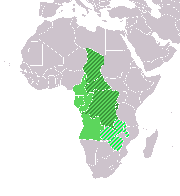
Map: Africa – Central/Middle Africa
|
| Datum | 4 Februarie 2006 (original upload date) |
| Bron | Geen machineleesbare bron opgegeven. Eigen werk aangenomen (gebaseerd op auteursrechtclaims). |
| Outeur | Geen machineleesbare auteur aanwezig. Op basis van auteursrechtclaims wordt auteur E Pluribus Anthony~commonswiki aangenomen. |
Lisensiëring
| Ek, die outeursreghouer van hierdie werk, stel dit hiermee in die publieke domein vry. Dit geld wêreldwyd. In sommige lande is dit dalk nie wettiglik moontlik nie. Indien so: Ek verleen aan enigiemand die reg om hierdie werk te gebruik vir enige doel, sonder voorwaardes, tensy sulke voorwaardes deur die wet vereis word. |
Lêergeskiedenis
Klik op die datum/tyd om te sien hoe die lêer destyds gelyk het.
| Datum/Tyd | Duimnael | Dimensies | Gebruiker | Opmerking | |
|---|---|---|---|---|---|
| huidig | 18:13, 17 Maart 2018 | | 360 × 392 (11 KG) | Maphobbyist | Upload |
| 21:01, 9 Julie 2011 |  | 360 × 392 (14 KG) | Maphobbyist | South Sudan has become independent on July 9, 2011. Sudan and South Sudan are shown with the new international border between them. | |
| 08:35, 11 Desember 2007 |  | 360 × 392 (14 KG) | Hoshie | added Cabinda and Montenegro | |
| 14:04, 30 Desember 2006 |  | 360 × 392 (9 KG) | Henrygb~commonswiki | Reverted to earlier revision | |
| 06:01, 1 April 2006 |  | 360 × 392 (14 KG) | Aris Katsaris | cleaner map -- no need to include defunct federation which confuses the map's purpose. | |
| 17:40, 4 Februarie 2006 |  | 360 × 392 (9 KG) | E Pluribus Anthony~commonswiki | Map: Central/Middle Africa (location) |
Lêergebruik
Die volgende 4 bladsye gebruik dié lêer:
Globale lêergebruik
Die volgende ander wiki's gebruik hierdie lêer:
- Gebruik in ace.wikipedia.org
- Gebruik in als.wikipedia.org
- Gebruik in am.wikipedia.org
- Gebruik in ar.wikipedia.org
- ليبيا
- جيبوتي
- موريتانيا
- تونس
- السودان
- الصحراء الغربية
- أنغولا
- أوغندا
- إسبانيا
- تشاد
- النيجر
- مالي
- السنغال
- غامبيا
- غينيا بيساو
- غينيا
- سيراليون
- ليبيريا
- غانا
- توغو
- بنين
- بوركينا فاسو
- الصومال
- كينيا
- تنزانيا
- الغابون
- زامبيا
- موزمبيق
- زيمبابوي
- البرتغال
- الكاميرون
- جمهورية الكونغو الديمقراطية
- بوتسوانا
- جنوب إفريقيا
- جمهورية إفريقيا الوسطى
- جمهورية الكونغو
- سيشل
- ناميبيا
- مدغشقر
- ليسوتو
- موريشيوس
- نهر النيل
- تاريخ ليبيا القديم
- نهر النيجر
- خليج العقبة
- مايوت
Wys meer globale gebruik van die lêer.
Metadata
Text is available under the CC BY-SA 4.0 license; additional terms may apply.
Images, videos and audio are available under their respective licenses.
Cover photo is available under {{::mainImage.info.license.name || 'Unknown'}} license.
Cover photo is available under {{::mainImage.info.license.name || 'Unknown'}} license.
Credit:
(see original file).
